Yeerongpilly Area, Yeerongpilly Postcode(4105) & Map in Yeerongpilly, Brisbane - South, QLD
Yeerongpilly Area, Yeerongpilly Postcode(4105) & Map in Yeerongpilly, Brisbane - South, QLD, AU, Postcode: 4105
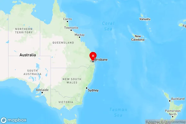
Yeerongpilly, Yeronga, Holland Park - Yeronga, Brisbane - South, Queensland, Australia, 4105
Yeerongpilly Postcode
Area Name
YeerongpillyYeerongpilly Suburb Area Map (Polygon)

Yeerongpilly Introduction
Yeerongpilly is a suburb in Brisbane, Queensland, Australia. It is located 5 kilometers south of the Brisbane CBD and is part of the City of Brisbane. Yeerongpilly is known for its large shopping center, which includes a supermarket, department store, and many specialty stores. It also has a variety of restaurants and cafes, as well as a medical center and a library. The suburb has a population of around 10,000 people and is home to a diverse range of cultures and backgrounds.State Name
City or Big Region
District or Regional Area
Suburb Name
Yeerongpilly Region Map
Country
Main Region in AU
R1Coordinates
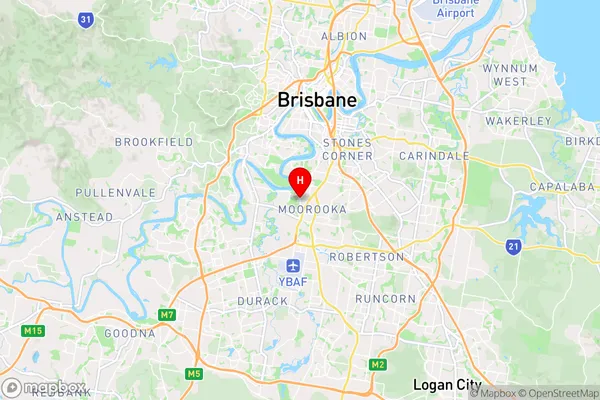
-27.53,153.012 (latitude/longitude)Yeerongpilly Area Map (Street)
Longitude
153.018893Latitude
-27.534438Yeerongpilly Elevation
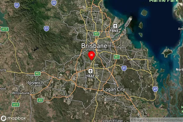
about 19.74 meters height above sea level (Altitude)Yeerongpilly Suburb Map (Satellite)
Distances
The distance from Yeerongpilly, Brisbane - South, QLD to AU Greater Capital CitiesSA1 Code 2011
30302105911SA1 Code 2016
30302105911SA2 Code
303021059SA3 Code
30302SA4 Code
303RA 2011
1RA 2016
1MMM 2015
1MMM 2019
1Charge Zone
Q1LGA Region
BrisbaneLGA Code
31000Electorate
Moreton