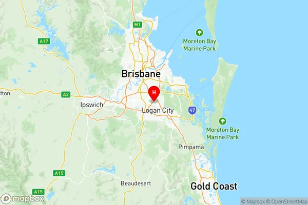
Sunnybank Suburbs & Region, Sunnybank Map & Postcodes
Sunnybank Suburbs & Region, Sunnybank Map & Postcodes in Sunnybank, Brisbane South, QLD, AU
Sunnybank Region
Region Name
Sunnybank (QLD, AU)Sunnybank Area
22.16 square kilometers (22.16 ㎢)Postal Codes
4108, 4109, 4112, 4113, 4115, and 4116 (In total, there are 6 postcodes in Sunnybank.)Sunnybank Introduction
Sunnybank is a suburb in the City of Brisbane, Queensland, Australia. It is located 7 kilometers south of the Brisbane CBD and is part of the South East Queensland region. Sunnybank is known for its large Asian population and has a number of shopping centers, restaurants, and parks. The suburb also has a well-established public transport system, with several bus and train stations located within its boundaries. Sunnybank is a popular residential area for families and professionals, with a variety of housing options available, including apartments, townhouses, and houses.Australia State
City or Big Region
District or Regional Area
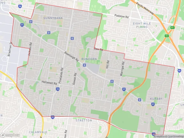
Sunnybank Region Map

Sunnybank Postcodes / Zip Codes
Sunnybank Suburbs
Eight Mile Plains
Macgregor (Qld)
Coopers Plains
Parkinson Drewvale
Sunnybank Hills
Sunnybank full address
Sunnybank, Brisbane South, Queensland, QLD, Australia, SaCode: 30306Country
Sunnybank, Brisbane South, Queensland, QLD, Australia, SaCode: 30306
Sunnybank Suburbs & Region, Sunnybank Map & Postcodes has 10 areas or regions above, and there are 19 Sunnybank suburbs below. The sa3code for the Sunnybank region is 30306. Its latitude and longitude coordinates are -27.6056,153.094.
Sunnybank Suburbs & Localities
1. Archerfield
2. Altandi
3. Robertson
4. Stretton
5. Banoon
6. Macgregor
7. Sunnybank South
8. Fruitgrove
9. Sunnybank Hills
10. Kuraby
11. Eight Mile Plains
12. Runcorn
13. Algester
14. Archerfield Bc
15. Coopers Plains
16. Sunnybank
17. Parkinson
18. Calamvale
19. Drewvale
