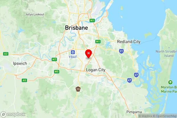
Runcorn Suburbs & Region, Runcorn Map & Postcodes
Runcorn Suburbs & Region, Runcorn Map & Postcodes in Runcorn, Sunnybank, Brisbane South, QLD, AU
Runcorn Region
Region Name
Runcorn (QLD, AU)Runcorn Area
6.69 square kilometers (6.69 ㎢)Runcorn Introduction
Runcorn is a suburb in the City of Brisbane, Queensland, Australia. It is located 10 kilometers south of the Brisbane CBD and is part of the South East Queensland region. Runcorn is known for its large shopping center, Runcorn Plaza, which is the second-largest shopping center in Queensland. The suburb also has a number of parks and recreational facilities, including a water park, a golf course, and a number of sports fields. Runcorn is home to a large number of immigrants, with a diverse population that includes people from a variety of cultural backgrounds. The suburb has a number of schools, including primary and secondary schools, as well as a university campus.Australia State
City or Big Region
Greater Capital City
Greater Brisbane (3GBRI)District or Regional Area
Suburb Name
Runcorn Region Map

Runcorn Suburbs
Runcorn full address
Runcorn, Sunnybank, Brisbane South, Queensland, QLD, Australia, SaCode: 303061078Country
Runcorn, Sunnybank, Brisbane South, Queensland, QLD, Australia, SaCode: 303061078
Runcorn Suburbs & Region, Runcorn Map & Postcodes has 0 areas or regions above, and there are 0 Runcorn suburbs below. The sa2code for the Runcorn region is 303061078. Its latitude and longitude coordinates are -27.5981,153.08. Runcorn area belongs to Australia's greater capital city Greater Brisbane.
