Robertson Suburbs & Region, Robertson Map & Postcodes
Robertson Suburbs & Region, Robertson Map & Postcodes in Robertson, Sunnybank, Brisbane South, QLD, AU
Robertson Region
Region Name
Robertson (QLD, AU)Robertson Area
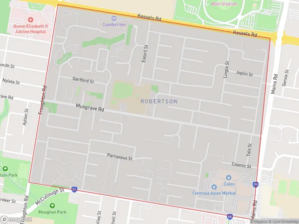
1.9 square kilometers (1.9 ㎢)Postal Codes
4109 (In total, there are 1 postcodes in Robertson.)Robertson Introduction
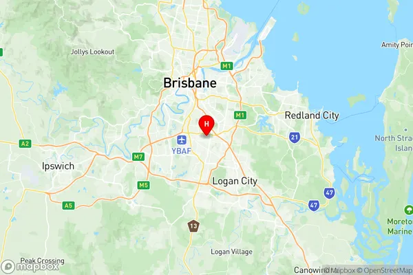
Robertson is a suburb in the City of Brisbane, Queensland, Australia. It is located 7 kilometers south of the Brisbane CBD and is part of the South Brisbane district. The suburb has a population of around 10,000 people and is known for its leafy streets, quiet parks, and well-maintained homes. Robertson is surrounded by other suburbs such as Sunnybank Hills, Mount Gravatt, and Holland Park, and is within easy reach of the Brisbane Airport and the South East Queensland motorway network. The suburb has a variety of shopping centers, including the Robertson Plaza and the Sunnybank Hills Shopping Center, as well as a number of restaurants and cafes. There are also several parks and recreational facilities in the area, including the Robertson Park and Recreation Centre and the Sunnybank Parklands.Australia State
City or Big Region
Greater Capital City
Greater Brisbane (3GBRI)District or Regional Area
Suburb Name
Robertson Region Map

Robertson Postcodes / Zip Codes
Robertson Suburbs
Robertson full address
Robertson, Sunnybank, Brisbane South, Queensland, QLD, Australia, SaCode: 303041069Country
Robertson, Sunnybank, Brisbane South, Queensland, QLD, Australia, SaCode: 303041069
Robertson Suburbs & Region, Robertson Map & Postcodes has 0 areas or regions above, and there are 1 Robertson suburbs below. The sa2code for the Robertson region is 303041069. Its latitude and longitude coordinates are -27.5657,153.057. Robertson area belongs to Australia's greater capital city Greater Brisbane.
Robertson Suburbs & Localities
1. Robertson
