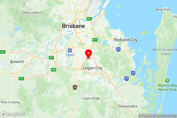
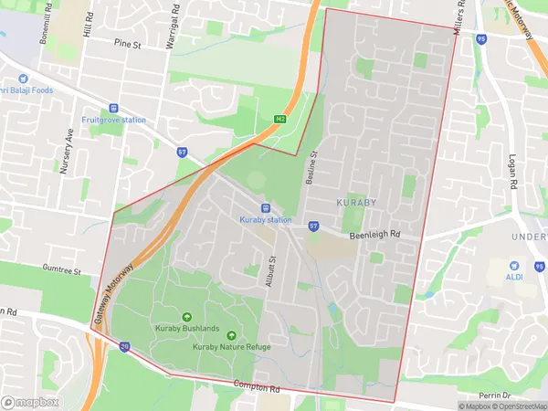
Kuraby Suburbs & Region, Kuraby Map & Postcodes
Kuraby Suburbs & Region, Kuraby Map & Postcodes in Kuraby, Sunnybank, Brisbane South, QLD, AU
Kuraby Region
Region Name
Kuraby (QLD, AU)Kuraby Area
4.64 square kilometers (4.64 ㎢)Postal Codes
4112 (In total, there are 1 postcodes in Kuraby.)Kuraby Introduction
Kuraby is a suburb in the City of Brisbane, Queensland, Australia. It is located 10 kilometers south of the Brisbane CBD and is part of the South East Queensland region. The suburb has a population of around 11,000 people and is known for its affordable housing and convenient location. It is surrounded by parks and recreational facilities, including the Kuraby Sports Complex and the Kuraby Bushland Reserve. Kuraby also has a variety of shopping centers, including the Kuraby Village Shopping Centre and the Westfield Garden City Shopping Centre. The suburb is well-connected to public transport, with several bus routes and the South East Queensland Rail Network servicing the area.Australia State
City or Big Region
Greater Capital City
Greater Brisbane (3GBRI)District or Regional Area
Suburb Name
Kuraby Region Map

Kuraby Postcodes / Zip Codes
Kuraby Suburbs
Kuraby full address
Kuraby, Sunnybank, Brisbane South, Queensland, QLD, Australia, SaCode: 303061077Country
Kuraby, Sunnybank, Brisbane South, Queensland, QLD, Australia, SaCode: 303061077
Kuraby Suburbs & Region, Kuraby Map & Postcodes has 0 areas or regions above, and there are 1 Kuraby suburbs below. The sa2code for the Kuraby region is 303061077. Its latitude and longitude coordinates are -27.6056,153.094. Kuraby area belongs to Australia's greater capital city Greater Brisbane.
Kuraby Suburbs & Localities
1. Kuraby
