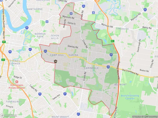
Carindale Suburbs & Region, Carindale Map & Postcodes
Carindale Suburbs & Region, Carindale Map & Postcodes in Carindale, Brisbane South, QLD, AU
Carindale Region
Region Name
Carindale (QLD, AU)Carindale Area
26.51 square kilometers (26.51 ㎢)Postal Codes
4153 (In total, there are 1 postcodes in Carindale.)Carindale Introduction
Carindale is a suburb in the City of Brisbane, Queensland, Australia. It is located 7 kilometers south of the Brisbane CBD and is part of the South East Queensland region. Carindale is a popular residential area with a mix of high-rise apartments and single-family homes. It has a variety of shopping centers, restaurants, and recreational facilities, including a cinema and a golf course. The suburb is also home to several major hospitals and medical centers, including the Princess Alexandra Hospital and the Queensland Children's Hospital. Carindale is well-connected to the rest of the city via public transport, with several bus and train stations located within the suburb.Australia State
City or Big Region
District or Regional Area
Carindale Postcodes / Zip Codes
Carindale Suburbs
Carindale full address
Carindale, Brisbane South, Queensland, QLD, Australia, SaCode: 30301Country
Carindale, Brisbane South, Queensland, QLD, Australia, SaCode: 30301
Carindale Suburbs & Region, Carindale Map & Postcodes has 0 areas or regions above, and there are 2 Carindale suburbs below. The sa3code for the Carindale region is 30301.
Carindale Suburbs & Localities
1. Belmont
2. Belmont Heights
