Mt Gravatt Suburbs & Region, Mt Gravatt Map & Postcodes
Mt Gravatt Suburbs & Region, Mt Gravatt Map & Postcodes in Mt Gravatt, Brisbane South, QLD, AU
Mt Gravatt Region
Region Name
Mt Gravatt (QLD, AU)Mt Gravatt Area
79.39 square kilometers (79.39 ㎢)Postal Codes
4156 (In total, there are 1 postcodes in Mt Gravatt.)Mt Gravatt Introduction
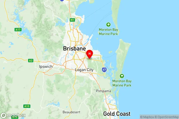
Mt Gravatt is a suburb in the City of Brisbane, Queensland, Australia. It is located 7 kilometers south of the Brisbane CBD and is part of the Brisbane South Region. The suburb is named after the mountain that overlooks it, which is part of the Mount Gravatt Range. Mt Gravatt is known for its leafy streets, parks, and variety of shopping and dining options. It is home to a large number of families and young professionals and is popular with students due to its proximity to several universities and colleges. The suburb has a number of public transport options, including buses and trains, and is well-connected to the rest of the city.Australia State
City or Big Region
District or Regional Area
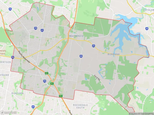
Mt Gravatt Region Map

Mt Gravatt Postcodes / Zip Codes
Mt Gravatt Suburbs
Rochedale Burbank
Mt Gravatt full address
Mt Gravatt, Brisbane South, Queensland, QLD, Australia, SaCode: 30303Country
Mt Gravatt, Brisbane South, Queensland, QLD, Australia, SaCode: 30303
Mt Gravatt Suburbs & Region, Mt Gravatt Map & Postcodes has 1 areas or regions above, and there are 2 Mt Gravatt suburbs below. The sa3code for the Mt Gravatt region is 30303. Its latitude and longitude coordinates are -27.559,153.163.
Mt Gravatt Suburbs & Localities
1. Mackenzie
2. Burbank
