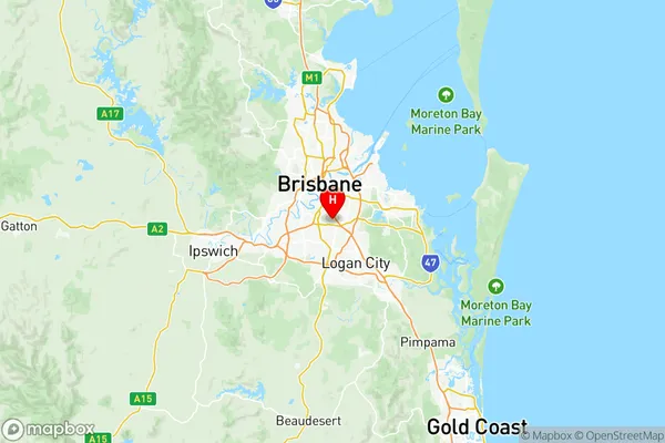
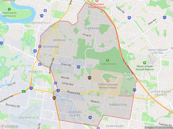
Nathan Suburbs & Region, Nathan Map & Postcodes
Nathan Suburbs & Region, Nathan Map & Postcodes in Nathan, Brisbane South, QLD, AU
Nathan Region
Region Name
Nathan (QLD, AU)Nathan Area
24.48 square kilometers (24.48 ㎢)Postal Codes
4103, 4111, from 4120 to 4122, and 4222 (In total, there are 6 postcodes in Nathan.)Nathan Introduction
Nathan is a suburb in the City of Brisbane, Queensland, Australia. It is located 5 kilometers south of the Brisbane CBD and is part of the South Brisbane district. Nathan is a diverse suburb with a mix of residential, commercial, and industrial areas. It is home to a number of parks, including the South Bank Parklands, which is a popular destination for locals and tourists alike. The suburb also has a large Chinese community, with many Chinese restaurants and grocery stores. Nathan is well-connected to the rest of Brisbane, with public transport options including buses and trains. It is also close to the Brisbane Airport and the Gateway Motorway.Australia State
City or Big Region
District or Regional Area
Nathan Region Map

Nathan Postcodes / Zip Codes
Nathan Suburbs
Fairfield Dutton Park
Holland Park
Holland Park West
Mansfield (Qld)
Mount Gravatt
Upper Mount Gravatt
Southport North
Nathan full address
Nathan, Brisbane South, Queensland, QLD, Australia, SaCode: 30304Country
Nathan, Brisbane South, Queensland, QLD, Australia, SaCode: 30304
Nathan Suburbs & Region, Nathan Map & Postcodes has 10 areas or regions above, and there are 26 Nathan suburbs below. The sa3code for the Nathan region is 30304. Its latitude and longitude coordinates are -27.5515,153.056.
Nathan Suburbs & Localities
1. Annerley
2. Annerley Dc
3. Fairfield Gardens
4. Fairfield
5. Nathan
6. Griffith University
7. Thompson Estate
8. Mount Thompson
9. Tarragindi
10. Upper Mount Gravatt Bc
11. Loreto Hill
12. Mansfield Bc
13. Mansfield Dc
14. Mount Gravatt
15. Mount Gravatt East
16. Upper Mount Gravatt
17. Griffith University
18. Greenslopes
19. Stones Corner
20. Ekibin
21. Holland Park
22. Holland Park East
23. Mansfield
24. Holland Park West
25. Wellers Hill
26. Wishart
