Holland Park West Suburbs & Region, Holland Park West Map & Postcodes
Holland Park West Suburbs & Region, Holland Park West Map & Postcodes in Holland Park West, Nathan, Brisbane South, QLD, AU
Holland Park West Region
Region Name
Holland Park West (QLD, AU)Holland Park West Area
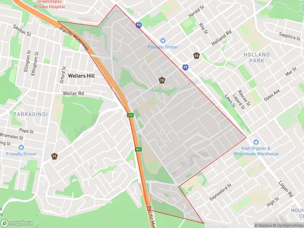
2.57 square kilometers (2.57 ㎢)Holland Park West Introduction
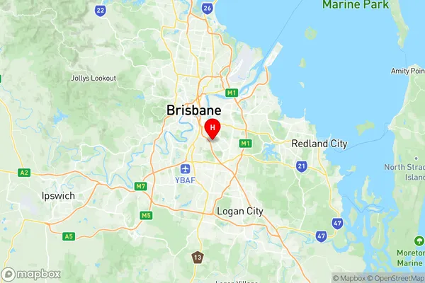
Holland Park West is a suburb in the southern part of Brisbane, Queensland, Australia. It is located 8 kilometers south of the Brisbane CBD and is part of the City of Brisbane local government area. Holland Park West is a leafy suburb with a mix of residential and commercial properties. It is known for its large parks, including Holland Park and Holland Park West State School. The suburb has a vibrant community with a variety of shops, cafes, and restaurants. Holland Park West is well-connected to public transport, with several bus routes and the Holland Park railway station located within walking distance. The suburb also has easy access to the Gateway Motorway and the Brisbane Airport.Australia State
City or Big Region
Greater Capital City
Greater Brisbane (3GBRI)District or Regional Area
Suburb Name
Holland Park West Region Map

Holland Park West Suburbs
Holland Park West full address
Holland Park West, Nathan, Brisbane South, Queensland, QLD, Australia, SaCode: 303021057Country
Holland Park West, Nathan, Brisbane South, Queensland, QLD, Australia, SaCode: 303021057
Holland Park West Suburbs & Region, Holland Park West Map & Postcodes has 0 areas or regions above, and there are 0 Holland Park West suburbs below. The sa2code for the Holland Park West region is 303021057. Its latitude and longitude coordinates are -27.5229,153.06. Holland Park West area belongs to Australia's greater capital city Greater Brisbane.
