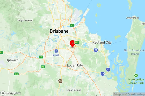
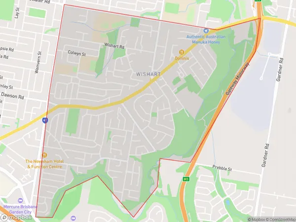
Wishart Suburbs & Region, Wishart Map & Postcodes
Wishart Suburbs & Region, Wishart Map & Postcodes in Wishart, Nathan, Brisbane South, QLD, AU
Wishart Region
Region Name
Wishart (QLD, AU)Wishart Area
4.79 square kilometers (4.79 ㎢)Postal Codes
4122 (In total, there are 1 postcodes in Wishart.)Wishart Introduction
Wishart is a suburb in the City of Brisbane, Queensland, Australia. It is located 5 kilometers south of the Brisbane CBD and is part of the South Brisbane district. Wishart is known for its vibrant community and diverse culture. The suburb has a large Chinese population and is home to many Chinese restaurants, grocery stores, and cultural centers. Wishart also has a significant Indian population and is home to many Indian restaurants, grocery stores, and temples. The suburb is well-serviced by public transportation, with several bus routes and train stations nearby. It is also home to several parks and recreational facilities, including the Wishart Park and the Wishart Sports Complex.Australia State
City or Big Region
Greater Capital City
Greater Brisbane (3GBRI)District or Regional Area
Suburb Name
Wishart Region Map

Wishart Postcodes / Zip Codes
Wishart Suburbs
Wishart full address
Wishart, Nathan, Brisbane South, Queensland, QLD, Australia, SaCode: 303031066Country
Wishart, Nathan, Brisbane South, Queensland, QLD, Australia, SaCode: 303031066
Wishart Suburbs & Region, Wishart Map & Postcodes has 0 areas or regions above, and there are 1 Wishart suburbs below. The sa2code for the Wishart region is 303031066. Its latitude and longitude coordinates are -27.5547,153.1. Wishart area belongs to Australia's greater capital city Greater Brisbane.
Wishart Suburbs & Localities
1. Wishart
