Holland Park East Area, Holland Park East Postcode(4121) & Map in Holland Park East, Brisbane - South, QLD
Holland Park East Area, Holland Park East Postcode(4121) & Map in Holland Park East, Brisbane - South, QLD, AU, Postcode: 4121
Holland Park East, Holland Park, Holland Park - Yeronga, Brisbane - South, Queensland, Australia, 4121
Holland Park East Postcode
Area Name
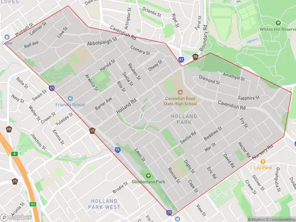
Holland Park EastHolland Park East Suburb Area Map (Polygon)

Holland Park East Introduction
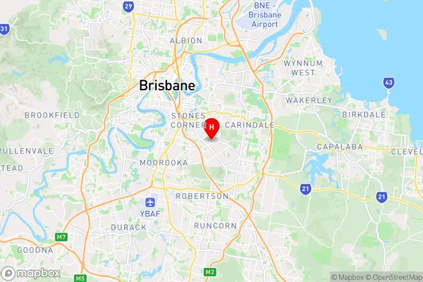
Holland Park East is a suburb in the southern part of Brisbane, Queensland, Australia. It is located 6 kilometers south of the Brisbane CBD and is part of the City of Brisbane local government area. Holland Park East is known for its leafy streets, well-maintained homes, and convenient location, with easy access to public transport, shopping centers, and recreational facilities. The suburb has a diverse population and is home to a mix of families, young professionals, and retirees.State Name
City or Big Region
District or Regional Area
Suburb Name
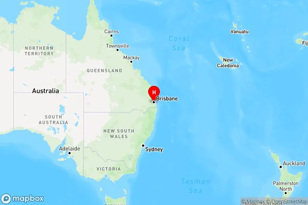
Holland Park East Region Map

Country
Main Region in AU
R1Coordinates
-27.517,153.067 (latitude/longitude)Holland Park East Area Map (Street)

Longitude
153.053952Latitude
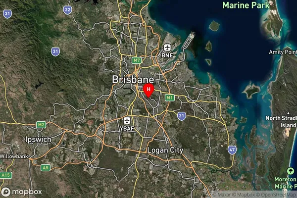
-27.526966Holland Park East Suburb Map (Satellite)

Distances
The distance from Holland Park East, Brisbane - South, QLD to AU Greater Capital CitiesSA1 Code 2011
30302105605SA1 Code 2016
30302105605SA2 Code
303021056SA3 Code
30302SA4 Code
303RA 2011
1RA 2016
1MMM 2015
1MMM 2019
1Charge Zone
Q1LGA Region
BrisbaneLGA Code
31000Electorate
Moreton