Loreto Hill Area, Loreto Hill Postcode(4120) & Map in Loreto Hill, Brisbane - South, QLD
Loreto Hill Area, Loreto Hill Postcode(4120) & Map in Loreto Hill, Brisbane - South, QLD, AU, Postcode: 4120
Loreto Hill, Greenslopes, Holland Park - Yeronga, Brisbane - South, Queensland, Australia, 4120
Loreto Hill Postcode
Area Name
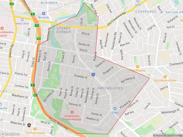
Loreto HillLoreto Hill Suburb Area Map (Polygon)
Loreto Hill Introduction
Loreto Hill is a suburb in the southern part of Brisbane, Queensland, Australia. It is located 7 kilometers south of the Brisbane CBD and is part of the City of Brisbane local government area. The suburb is named after the Catholic college Loreto Convent, which is located in the area. Loreto Hill has a variety of housing options, including apartments, units, and houses. It is also home to several parks and recreational facilities, including a golf course, tennis courts, and a swimming pool. The suburb is well-connected to the rest of Brisbane via public transport, with several bus routes and the South East Busway stopping in the area.State Name
City or Big Region
District or Regional Area
Suburb Name
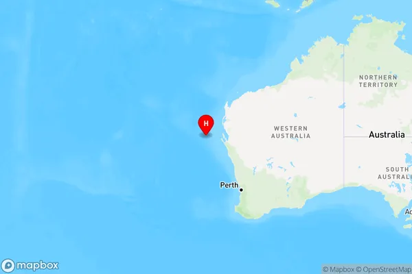
Loreto Hill Region Map
Country
Main Region in AU
R1Coordinates
-26.0118,111.348 (latitude/longitude)Loreto Hill Area Map (Street)
Longitude
153.044217Latitude
-27.508707Loreto Hill Elevation
about 11.26 meters height above sea level (Altitude)Loreto Hill Suburb Map (Satellite)
Distances
The distance from Loreto Hill, Brisbane - South, QLD to AU Greater Capital CitiesSA1 Code 2011
30302105507SA1 Code 2016
30302105507SA2 Code
303021055SA3 Code
30302SA4 Code
303RA 2011
1RA 2016
1MMM 2015
1MMM 2019
1Charge Zone
Q1LGA Region
BrisbaneLGA Code
31000Electorate
Griffith