Greenslopes Suburbs & Region, Greenslopes Map & Postcodes
Greenslopes Suburbs & Region, Greenslopes Map & Postcodes in Greenslopes, Nathan, Brisbane South, QLD, AU
Greenslopes Region
Region Name
Greenslopes (QLD, AU)Greenslopes Area
2.95 square kilometers (2.95 ㎢)Postal Codes
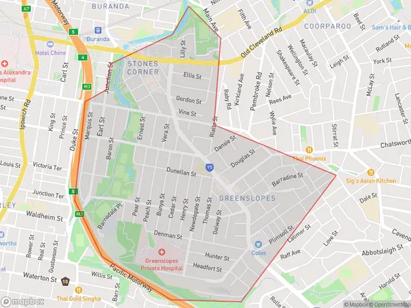
4103, and 4120 (In total, there are 2 postcodes in Greenslopes.)Greenslopes Suburb Area Map (Polygon)
Greenslopes Introduction
Greenslopes is a suburb in the City of Brisbane, Queensland, Australia. It is located 6 kilometers south of the Brisbane CBD and is part of the South Brisbane Region. Greenslopes is known for its vibrant cultural scene, with a variety of restaurants, cafes, and art galleries. It is also home to the Greenslopes Hospital and the Queensland University of Technology. The suburb has a large population of students and young professionals, and is popular with families due to its many parks and recreational facilities.Australia State
City or Big Region
Greater Capital City
Greater Brisbane (3GBRI)District or Regional Area
Suburb Name
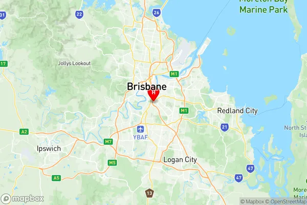
Greenslopes Region Map
Greenslopes Postcodes / Zip Codes
Greenslopes Suburbs
Greenslopes full address
Greenslopes, Nathan, Brisbane South, Queensland, QLD, Australia, SaCode: 303021055Country
Greenslopes, Nathan, Brisbane South, Queensland, QLD, Australia, SaCode: 303021055
Greenslopes Suburbs & Region, Greenslopes Map & Postcodes has 0 areas or regions above, and there are 4 Greenslopes suburbs below. The sa2code for the Greenslopes region is 303021055. Its latitude and longitude coordinates are -27.507,153.042. Greenslopes area belongs to Australia's greater capital city Greater Brisbane.
Greenslopes Suburbs & Localities
1. Thompson Estate
2. Loreto Hill
3. Greenslopes
4. Stones Corner