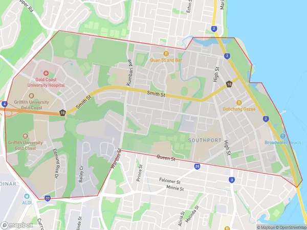
Griffith University Area, Griffith University Postcode(4222) & Map in Griffith University, Gold Coast, QLD
Griffith University Area, Griffith University Postcode(4222) & Map in Griffith University, Gold Coast, QLD, AU, Postcode: 4222
Griffith University, Southport - North, Southport, Gold Coast, Queensland, Australia, 4222
Griffith University Postcode
Area Name
Griffith UniversityGriffith University Suburb Area Map (Polygon)

Griffith University Introduction
Griffith University is a public research university located on the Gold Coast, Queensland, Australia. It is ranked among the top 250 universities in the world and offers a wide range of undergraduate and postgraduate programs across five faculties. The university has a strong focus on sustainability, entrepreneurship, and innovation, and is home to a number of research centers and institutes.State Name
City or Big Region
District or Regional Area
Suburb Name
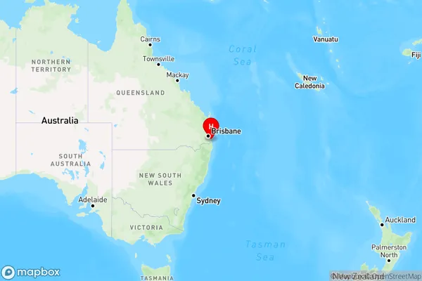
Griffith University Region Map

Country
Main Region in AU
R2Coordinates
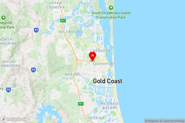
-27.9639,153.381 (latitude/longitude)Griffith University Area Map (Street)

Longitude
153.052226Latitude
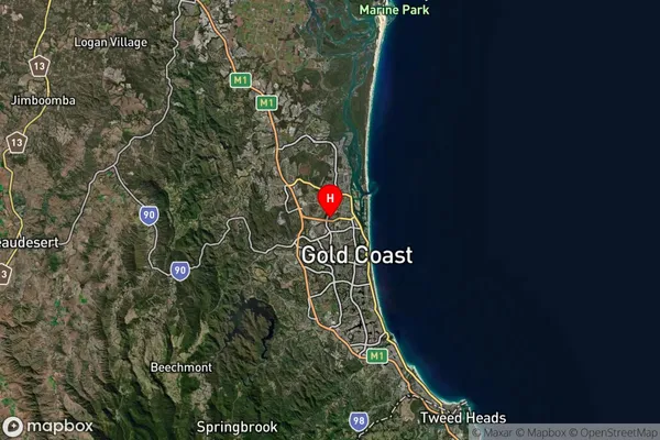
-27.550643Griffith University Suburb Map (Satellite)

Distances
The distance from Griffith University, Gold Coast, QLD to AU Greater Capital CitiesSA1 Code 2011
30909126648SA1 Code 2016
30909154030SA2 Code
309091540SA3 Code
30909SA4 Code
309RA 2011
1RA 2016
1MMM 2015
1MMM 2019
1Charge Zone
Q1LGA Region
BrisbaneLGA Code
31000Electorate
McPherson