Gadgarra Area, Gadgarra Postcode(4884) & Map in Gadgarra, Cairns, QLD
Gadgarra Area, Gadgarra Postcode(4884) & Map in Gadgarra, Cairns, QLD, AU, Postcode: 4884
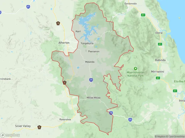
Gadgarra, Malanda - Yungaburra, Tablelands (East) - Kuranda, Cairns, Queensland, Australia, 4884
Gadgarra Postcode
Area Name
GadgarraGadgarra Suburb Area Map (Polygon)
Gadgarra Introduction
Gadgarra is a heritage-listed site in Cairns, Queensland, Australia. It is a large rock formation that is believed to have been used by the Indigenous people of the area for ceremonial purposes. The site is located on the banks of the Barron River and is accessible by a short walk from the town center.State Name
City or Big Region
District or Regional Area
Suburb Name
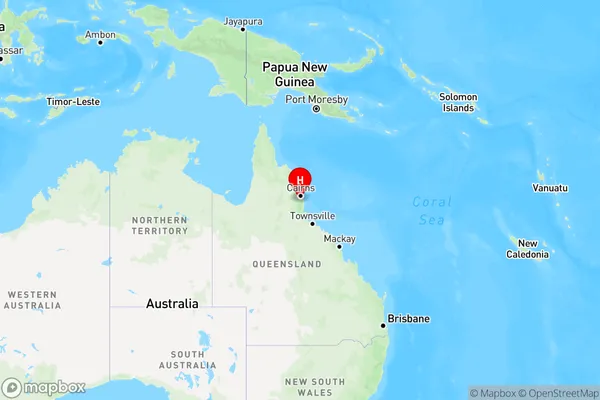
Gadgarra Region Map
Country
Main Region in AU
R3Coordinates
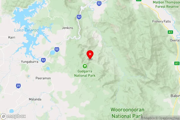
-17.2663495,145.7214362 (latitude/longitude)Gadgarra Area Map (Street)
Longitude
145.7215575Latitude
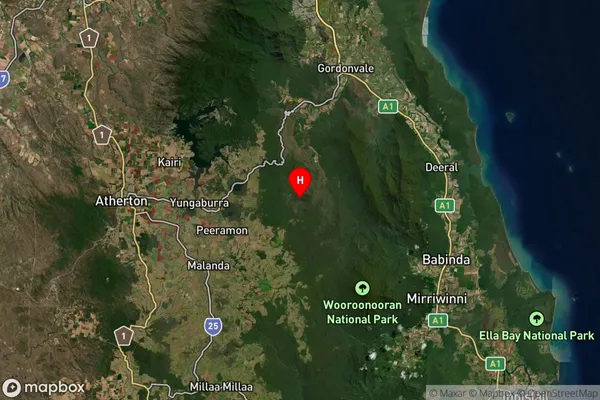
-17.26633269Gadgarra Suburb Map (Satellite)
Distances
The distance from Gadgarra, Cairns, QLD to AU Greater Capital CitiesSA1 Code 2011
30605116917SA1 Code 2016
30605116917SA2 Code
306051169SA3 Code
30605SA4 Code
306RA 2011
3RA 2016
3MMM 2015
5MMM 2019
5Charge Zone
Q4LGA Region
CairnsLGA Code
32080Electorate
Kennedy