Malanda Yungaburra Suburbs & Region, Malanda Yungaburra Map & Postcodes
Malanda Yungaburra Suburbs & Region, Malanda Yungaburra Map & Postcodes in Malanda Yungaburra, Far North, Queensland Outback, QLD, AU
Malanda Yungaburra Region
Region Name
Malanda Yungaburra (QLD, AU)Malanda Yungaburra Area
1255 square kilometers (1,255 ㎢)Postal Codes
4860, 4872, and from 4883 to 4886 (In total, there are 6 postcodes in Malanda Yungaburra.)Malanda Yungaburra Introduction
Malanda Yungaburra is a small town in Queensland, Australia, located in the Shire of Mareeba. It is situated on the banks of the Mulgrave River and is a popular tourist destination for its natural beauty and outdoor activities. The town is home to the Malanda Falls, which are a series of waterfalls that are a popular swimming and hiking spot. The town also has a number of heritage-listed buildings, including the Malanda Hotel, which was built in the 1920s and is a popular spot for locals and tourists alike.Australia State
City or Big Region
Greater Capital City
Rest of Qld (3RQLD)District or Regional Area
Suburb Name
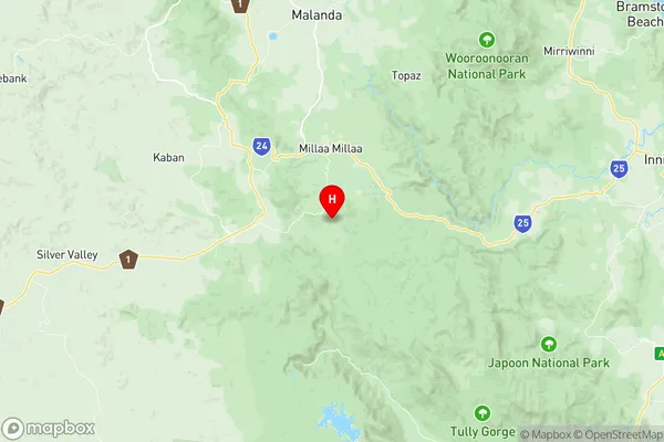
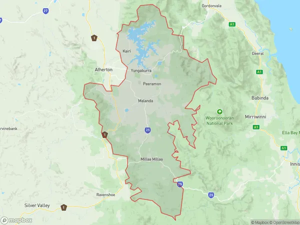
Malanda Yungaburra Region Map

Malanda Yungaburra Postcodes / Zip Codes
Malanda Yungaburra Suburbs
Malanda Yungaburra full address
Malanda Yungaburra, Far North, Queensland Outback, Queensland, QLD, Australia, SaCode: 306051169Country
Malanda Yungaburra, Far North, Queensland Outback, Queensland, QLD, Australia, SaCode: 306051169
Malanda Yungaburra Suburbs & Region, Malanda Yungaburra Map & Postcodes has 0 areas or regions above, and there are 30 Malanda Yungaburra suburbs below. The sa2code for the Malanda Yungaburra region is 306051169. Its latitude and longitude coordinates are -17.597,145.615. Malanda Yungaburra area belongs to Australia's greater capital city Rest of Qld.
Malanda Yungaburra Suburbs & Localities
1. Palmerston
2. Lake Tinaroo
3. Kairi
4. Tinaroo
5. East Barron
6. Topaz
7. Ellinjaa
8. Minbun
9. Moregatta
10. Mungalli
11. Gadgarra
12. Lake Barrine
13. Lake Eacham
14. Butchers Creek
15. Glen Allyn
16. Peeramon
17. Tarzali
18. Beatrice
19. Barrine
20. Danbulla
21. Upper Barron
22. Kureen
23. Malanda
24. Maalan
25. Middlebrook
26. Millaa Millaa
27. Wongabel
28. Yungaburra
29. Jaggan
30. North Johnstone
