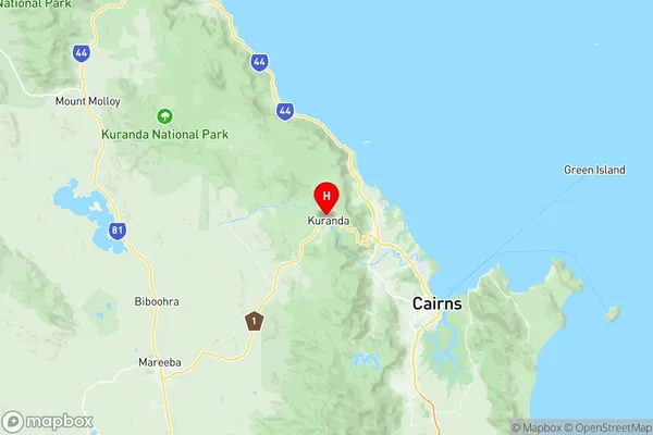
Kuranda Suburbs & Region, Kuranda Map & Postcodes
Kuranda Suburbs & Region, Kuranda Map & Postcodes in Kuranda, Tablelands (East) Kuranda, Cairns, QLD, AU
Kuranda Region
Region Name
Kuranda (QLD, AU)Kuranda Area
591.32 square kilometers (591.32 ㎢)Postal Codes
4871, 4872, and 4881 (In total, there are 3 postcodes in Kuranda.)Kuranda Introduction
Kuranda is a small town in Queensland, Australia, located in the rainforest of the Wet Tropics World Heritage Area. It is known for its beautiful scenery, including the Kuranda Scenic Railway, which takes visitors through the rainforest to the town. The town also has a variety of shops, cafes, and restaurants, as well as a number of attractions, including the Kuranda Koala Gardens, the Kuranda National Park, and the Rainforest Habitat Wildlife Sanctuary.Australia State
City or Big Region
Greater Capital City
Rest of Qld (3RQLD)District or Regional Area
Suburb Name
Kuranda Region Map

Kuranda Postcodes / Zip Codes
Kuranda Suburbs
Kuranda full address
Kuranda, Tablelands (East) Kuranda, Cairns, Queensland, QLD, Australia, SaCode: 306051168Country
Kuranda, Tablelands (East) Kuranda, Cairns, Queensland, QLD, Australia, SaCode: 306051168
Kuranda Suburbs & Region, Kuranda Map & Postcodes has 0 areas or regions above, and there are 8 Kuranda suburbs below. The sa2code for the Kuranda region is 306051168. Its latitude and longitude coordinates are -16.8167,145.633. Kuranda area belongs to Australia's greater capital city Rest of Qld.
Kuranda Suburbs & Localities
1. Kuranda
2. Myola
3. Koah
4. Kowrowa
5. Koah
6. Speewah
7. Mona Mona
8. Kuranda
