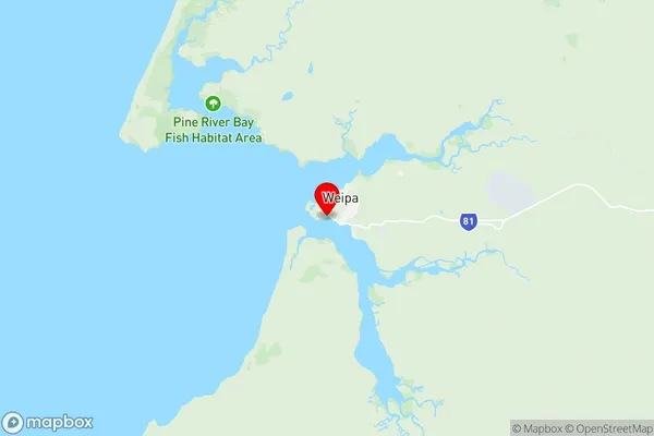
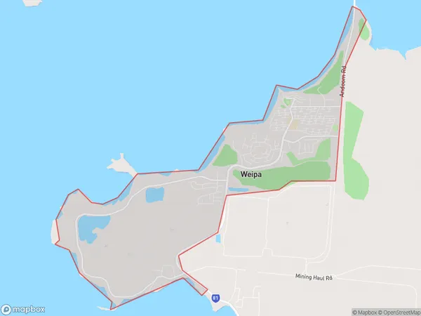
Weipa Suburbs & Region, Weipa Map & Postcodes
Weipa Suburbs & Region, Weipa Map & Postcodes in Weipa, Far North, Queensland Outback, QLD, AU
Weipa Region
Region Name
Weipa (QLD, AU)Weipa Area
15.8 square kilometers (15.8 ㎢)Postal Codes
4874 (In total, there are 1 postcodes in Weipa.)Weipa Introduction
Weipa is a remote town and port on the Gulf of Carpentaria in Queensland, Australia. It is the administrative center of the Weipa District and is located approximately 1,100 kilometers north of the state capital, Brisbane. The town is known for its mining operations, particularly the mining of bauxite and alumina. The town has a population of around 2,500 people and is serviced by airstrips and a ferry terminal. The nearby Cape York Peninsula is a popular tourist destination, and the town is a gateway to the region's many natural attractions, including the Great Barrier Reef and the Gulf of Carpentaria.Australia State
City or Big Region
Greater Capital City
Rest of Qld (3RQLD)District or Regional Area
Suburb Name
Weipa Region Map

Weipa Postcodes / Zip Codes
Weipa Suburbs
Weipa full address
Weipa, Far North, Queensland Outback, Queensland, QLD, Australia, SaCode: 315011403Country
Weipa, Far North, Queensland Outback, Queensland, QLD, Australia, SaCode: 315011403
Weipa Suburbs & Region, Weipa Map & Postcodes has 0 areas or regions above, and there are 5 Weipa suburbs below. The sa2code for the Weipa region is 315011403. Its latitude and longitude coordinates are -12.6635,141.854. Weipa area belongs to Australia's greater capital city Rest of Qld.
Weipa Suburbs & Localities
1. Rocky Point
2. Trunding
3. Weipa
4. Evans Landing
5. Nanum
