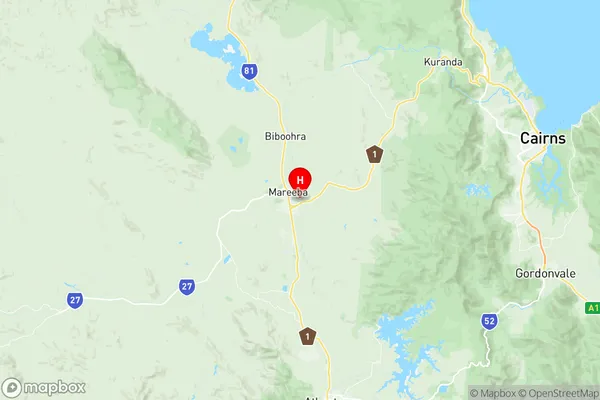
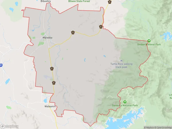
Mareeba Suburbs & Region, Mareeba Map & Postcodes
Mareeba Suburbs & Region, Mareeba Map & Postcodes in Mareeba, Far North, Queensland Outback, QLD, AU
Mareeba Region
Region Name
Mareeba (QLD, AU)Mareeba Area
480.2 square kilometers (480.2 ㎢)Postal Codes
4880 (In total, there are 1 postcodes in Mareeba.)Mareeba Introduction
Mareeba is a city in Queensland, Australia, located in the Far North region. It is the administrative center of the Shire of Mareeba and is situated approximately 160 kilometers northwest of Cairns. The city is known for its agricultural industry, particularly sugarcane farming, and is surrounded by lush tropical rainforests and waterfalls. Mareeba is also a popular tourist destination, with attractions such as the Mareeba Wetlands, the Sir Joseph Banks Group National Park, and the Mareeba Heritage Museum. The city has a population of around 10,000 people and is serviced by Mareeba Airport and a railway station.Australia State
City or Big Region
Greater Capital City
Rest of Qld (3RQLD)District or Regional Area
Suburb Name
Mareeba Region Map

Mareeba Postcodes / Zip Codes
Mareeba Suburbs
Mareeba full address
Mareeba, Far North, Queensland Outback, Queensland, QLD, Australia, SaCode: 306051170Country
Mareeba, Far North, Queensland Outback, Queensland, QLD, Australia, SaCode: 306051170
Mareeba Suburbs & Region, Mareeba Map & Postcodes has 0 areas or regions above, and there are 1 Mareeba suburbs below. The sa2code for the Mareeba region is 306051170. Its latitude and longitude coordinates are -17.0019,145.439. Mareeba area belongs to Australia's greater capital city Rest of Qld.
Mareeba Suburbs & Localities
1. Mareeba
