Cape York Suburbs & Region, Cape York Map & Postcodes
Cape York Suburbs & Region, Cape York Map & Postcodes in Cape York, Far North, Queensland Outback, QLD, AU
Cape York Region
Region Name
Cape York (QLD, AU)Cape York Area
112961 square kilometers (112,961 ㎢)Cape York Introduction
Cape York Peninsula is located in Queensland, Australia. It is the northernmost point of Australia and the second-largest peninsula in the world. The peninsula is home to the Kauri rainforest, which is one of the last remaining areas of tropical rainforest in the world. The Cape York Peninsula is also home to a variety of animals, including crocodiles, wallabies, and kangaroos. The peninsula is accessible by road from Cairns or Port Douglas and can also be reached by air. The area is popular with tourists who come to explore the rainforest, go fishing, or take part in other outdoor activities.Australia State
City or Big Region
Greater Capital City
Rest of Qld (3RQLD)District or Regional Area
Suburb Name
Cape York Region Map

Cape York Suburbs
Cape York full address
Cape York, Far North, Queensland Outback, Queensland, QLD, Australia, SaCode: 315011396Country
Cape York, Far North, Queensland Outback, Queensland, QLD, Australia, SaCode: 315011396
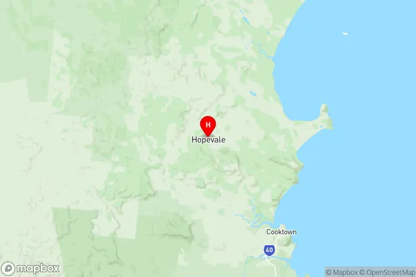
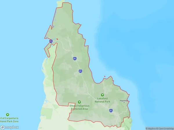
Cape York Suburbs & Region, Cape York Map & Postcodes has 0 areas or regions above, and there are 0 Cape York suburbs below. The sa2code for the Cape York region is 315011396. Its latitude and longitude coordinates are -15.2942,145.108. Cape York area belongs to Australia's greater capital city Rest of Qld.
