ZipCode 4892 Areas, AU PostCode 4892 Suburbs
Postcode 4892 Suburbs, ZipCode 4892 Areas & Regions in Far North,QLD Australia
There are at least 33 AU suburbs share the same AU PostCode 4892 Suburbs in Far North, Outback - North.
Postal Code 4892 Regions
The Australia postcode 4892 regions include Cape York, Croydon - Etheridge, Kowanyama - Pormpuraaw, Carpentaria, Tablelands, Aurukun in the areas of Far North, Outback - North, Cape York, These postcode areas are all located in the state Queensland, QLD.Australia postcode 4892 is located in the state of Queensland, in the city of Cairns. It covers an area of approximately 2,750 square kilometers and has a population of over 100,000 people. The postcode includes the suburbs of Cairns, Trinity Beach, Palm Cove, and Port Douglas. It is known for its beautiful beaches, tropical climate, and diverse range of wildlife.
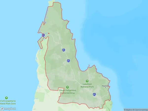
ZipCode 4892 Areas Map for Cape York
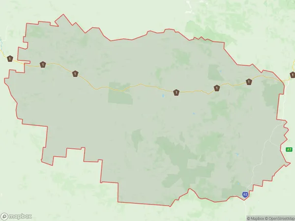
AU PostCode 4892 Suburbs Map for Croydon - Etheridge
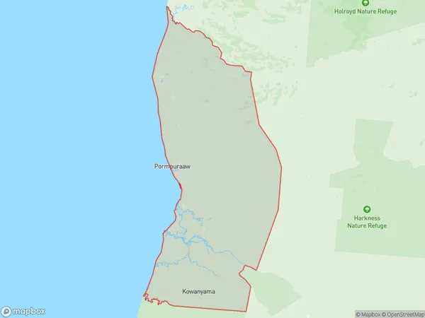
Postal Code 4892 Regions Map for Kowanyama - Pormpuraaw
AU PostCode 4892 Suburbs
AU PostCode 4892 suburbs contain Coen, Dixie, Gununa, Iron Range, Lockhart River, Pormpuraaw, South Wellesley Islands, Staaten, Wrotham, Abingdon Downs, Archer River, Aurukun, Bellevue, Edward River, Kowanyama, Laura, Palmer, West Wellesley Islands, Yagoonya, Yarraden, Arbouin, Groganville, Holroyd River, Lyndside, Mount Mulgrave, Ravensworth, Wellesley Islands, Gamboola, Highbury, Lakefield, Lizard, Maramie, Red River, you can check the below link to see the 33 suburbs detailed information.
AU PostCode 4892 Suburbs Map
ZipCode 4892 Areas
1. Coen
2. Dixie
3. Gununa
4. Iron Range
5. Lockhart River
6. Pormpuraaw
7. South Wellesley Islands
8. Staaten
9. Wrotham
10. Abingdon Downs
11. Archer River
12. Aurukun
13. Bellevue
14. Edward River
15. Kowanyama
16. Laura
17. Palmer
18. West Wellesley Islands
19. Yagoonya
20. Yarraden
21. Arbouin
22. Groganville
23. Holroyd River
24. Lyndside
25. Mount Mulgrave
26. Ravensworth
27. Wellesley Islands
28. Gamboola
29. Highbury
30. Lakefield
31. Lizard
32. Maramie
33. Red River