Pormpuraaw Area, Pormpuraaw Postcode(4892) & Map in Pormpuraaw, Queensland - Outback, QLD
Pormpuraaw Area, Pormpuraaw Postcode(4892) & Map in Pormpuraaw, Queensland - Outback, QLD, AU, Postcode: 4892
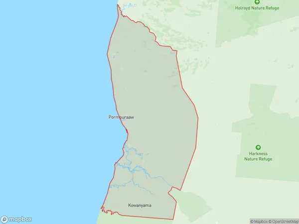
Pormpuraaw, Kowanyama - Pormpuraaw, Far North, Queensland - Outback, Queensland, Australia, 4892
Pormpuraaw Postcode
Area Name
PormpuraawPormpuraaw Suburb Area Map (Polygon)
Pormpuraaw Introduction
Pormpuraaw is a remote Aboriginal community in Queensland's Outback, known for its rich cultural heritage and traditional art. It is home to the Pormpuraaw people, who have lived in the area for thousands of years and continue to practice their traditional customs and beliefs. The community is located in a rugged and isolated region, with limited access to modern amenities.State Name
City or Big Region
District or Regional Area
Suburb Name
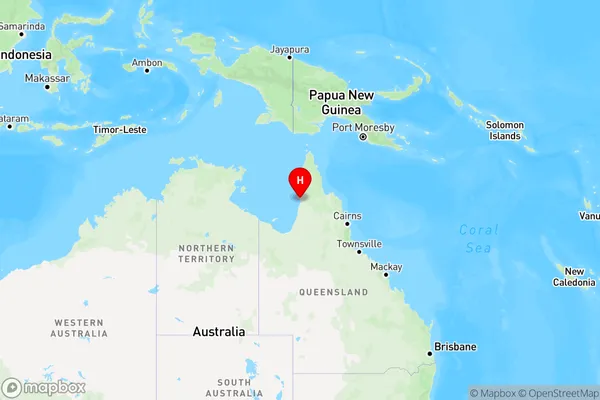
Pormpuraaw Region Map
Country
Main Region in AU
R3Coordinates
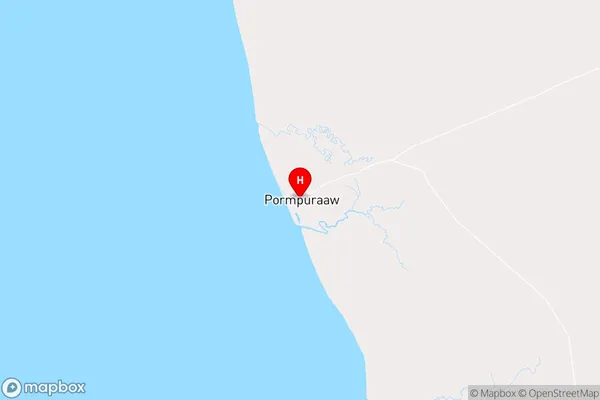
-14.9,141.62 (latitude/longitude)Pormpuraaw Area Map (Street)
Longitude
143.3735Latitude
-14.6604Pormpuraaw Elevation
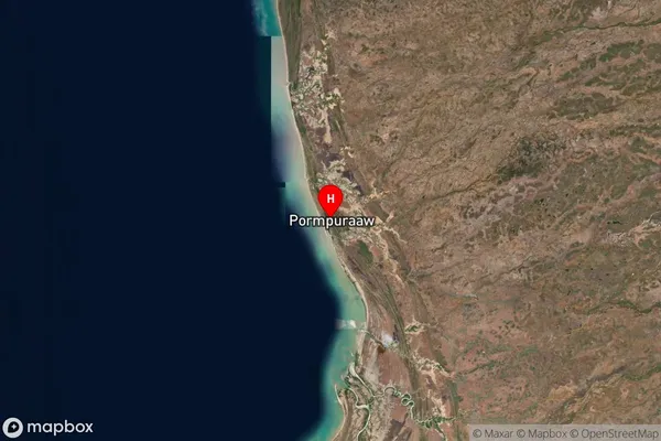
about 152.22 meters height above sea level (Altitude)Pormpuraaw Suburb Map (Satellite)
Distances
The distance from Pormpuraaw, Queensland - Outback, QLD to AU Greater Capital CitiesSA1 Code 2011
31501139804SA1 Code 2016
31501139804SA2 Code
315011398SA3 Code
31501SA4 Code
315RA 2011
5RA 2016
5MMM 2015
7MMM 2019
7Charge Zone
Q4LGA Region
CookLGA Code
32500Electorate
Leichhardt