Aurukun Area, Aurukun Postcode(4892) & Map in Aurukun, Queensland - Outback, QLD
Aurukun Area, Aurukun Postcode(4892) & Map in Aurukun, Queensland - Outback, QLD, AU, Postcode: 4892
Aurukun, Aurukun, Far North, Queensland - Outback, Queensland, Australia, 4892
Aurukun Postcode
Area Name
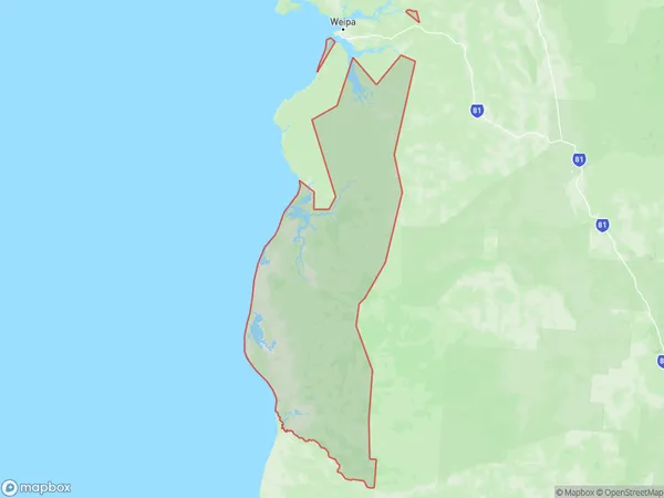
AurukunAurukun Suburb Area Map (Polygon)
Aurukun Introduction
Aurukun is a remote Aboriginal community in Queensland, Australia, with a population of around 1,000 people. It is located in the Cape York Peninsula and is known for its traditional art, culture, and natural beauty. The community faces significant social and economic challenges, including high rates of alcoholism, drug abuse, and poverty.State Name
City or Big Region
District or Regional Area
Suburb Name
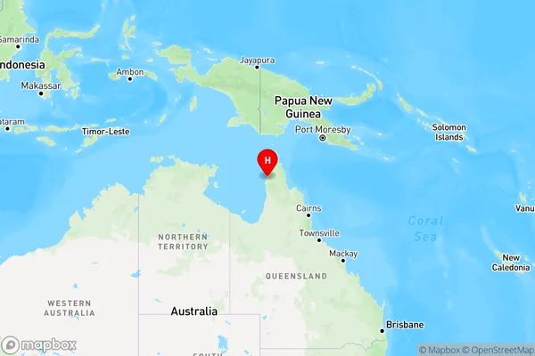
Aurukun Region Map
Country
Main Region in AU
R3Coordinates
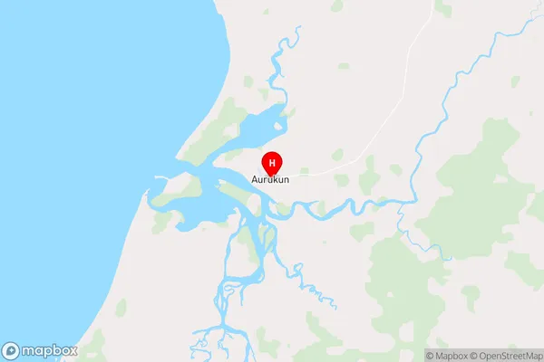
-13.3573,141.728 (latitude/longitude)Aurukun Area Map (Street)
Longitude
143.3735Latitude
-14.6604Aurukun Elevation
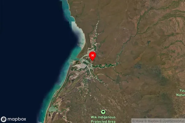
about 18.90 meters height above sea level (Altitude)Aurukun Suburb Map (Satellite)
Distances
The distance from Aurukun, Queensland - Outback, QLD to AU Greater Capital CitiesSA1 Code 2011
31501139501SA1 Code 2016
31501139501SA2 Code
315011395SA3 Code
31501SA4 Code
315RA 2011
5RA 2016
5MMM 2015
7MMM 2019
7Charge Zone
Q4LGA Region
CookLGA Code
32500Electorate
Leichhardt