Aurukun Suburbs & Region, Aurukun Map & Postcodes
Aurukun Suburbs & Region, Aurukun Map & Postcodes in Aurukun, Outback North, Queensland Outback, QLD, AU
Aurukun Region
Region Name
Aurukun (QLD, AU)Aurukun Area
7424 square kilometers (7,424 ㎢)Aurukun Introduction
Aurukun is a remote Aboriginal community in Queensland's Cape York Peninsula. It is one of the most isolated settlements in Australia, with no road access and relying on air and sea transport. The community is known for its traditional culture and art, including woodcarving and painting. It also has a strong connection to the land and its traditional practices, such as hunting and gathering. Aurukun is governed by the Aboriginal Shire Council and has a population of around 2,000 people. The community has faced significant challenges, including poverty, health issues, and cultural loss, but it continues to thrive and maintain its unique identity.Australia State
City or Big Region
Greater Capital City
Rest of Qld (3RQLD)District or Regional Area
Suburb Name
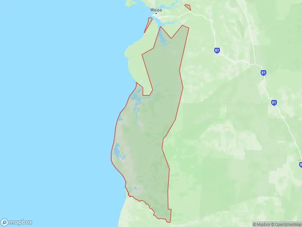
Aurukun Region Map

Aurukun Suburbs
Aurukun full address
Aurukun, Outback North, Queensland Outback, Queensland, QLD, Australia, SaCode: 315011395Country
Aurukun, Outback North, Queensland Outback, Queensland, QLD, Australia, SaCode: 315011395
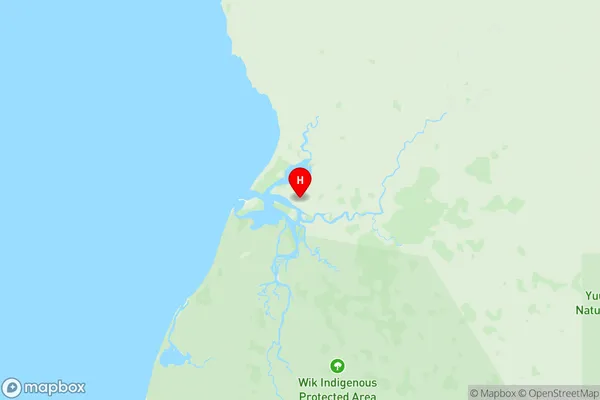
Aurukun Suburbs & Region, Aurukun Map & Postcodes has 0 areas or regions above, and there are 0 Aurukun suburbs below. The sa2code for the Aurukun region is 315011395. Its latitude and longitude coordinates are -13.355,141.724. Aurukun area belongs to Australia's greater capital city Rest of Qld.
