Outback North Suburbs & Region, Outback North Map & Postcodes
Outback North Suburbs & Region, Outback North Map & Postcodes in Outback North, Queensland Outback, QLD, AU
Outback North Region
Region Name
Outback North (QLD, AU)Outback North Area
307082 square kilometers (307,082 ㎢)Postal Codes
4821, 4822, 4824, 4828, 4830, 4871, and from 4890 to 4892 (In total, there are 9 postcodes in Outback North.)Outback North Introduction
Outback North, Queensland Outback, Queensland, AU, is a remote and beautiful region known for its stunning landscapes, including the Great Barrier Reef, the Atherton Tablelands, and the Diamantina National Park. It is home to a variety of unique wildlife, including kangaroos, wallabies, and emus, and is a popular destination for outdoor enthusiasts, including hikers, campers, and wildlife watchers. The region is also home to several Indigenous communities, who have lived in the area for thousands of years and have a rich cultural heritage.Australia State
City or Big Region
District or Regional Area
Outback North Region Map
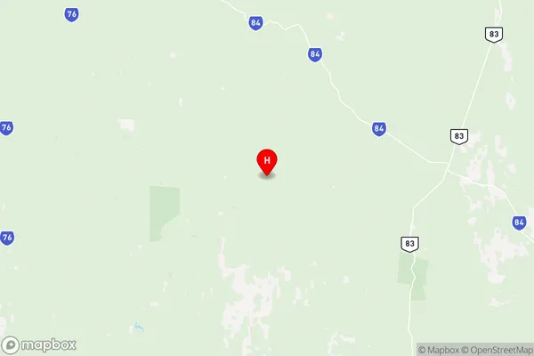
Outback North Postcodes / Zip Codes
Outback North Suburbs
Gordonvale Trinity
Kowanyama Pormpuraaw
Outback North full address
Outback North, Queensland Outback, Queensland, QLD, Australia, SaCode: 31502Country
Outback North, Queensland Outback, Queensland, QLD, Australia, SaCode: 31502
Outback North Suburbs & Region, Outback North Map & Postcodes has 6 areas or regions above, and there are 161 Outback North suburbs below. The sa3code for the Outback North region is 31502. Its latitude and longitude coordinates are -19.2618,139.786.
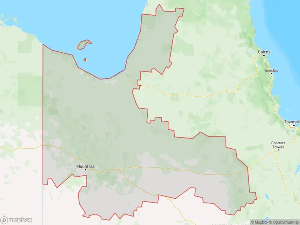
Outback North Suburbs & Localities
1. Dutton River
2. Hughenden
3. Marathon
4. Porcupine
5. Prairie
6. Stamford
7. Tangorin
8. Albion
9. Bellfield
10. Burleigh
11. Cambridge
12. Maxwelton
13. Nonda
14. Richmond
15. Saxby
16. Victoria Vale
17. Woolgar
18. Cloncurry
19. Devoncourt Station
20. Four Ways
21. Gidya
22. Kuridala
23. Oorindi
24. Selwyn
25. Three Rivers
26. Camooweal
27. Augustus Downs
28. Burketown
29. Doomadgee
30. Gangalidda
31. Gregory
32. Gregory Downs
33. Nicholson
34. Abingdon Downs
35. Almaden
36. Aloomba
37. Amber
38. Aurukun
39. Basilisk
40. Bellenden Ker
41. Blackbull
42. Bolwarra
43. Bombeeta
44. Boogan
45. Bramston Beach
46. Bulleringa
47. Camp Creek
48. Chillagoe
49. Claraville
50. Coen
51. Conjuboy
52. Coralie
53. Cowley
54. Cowley Beach
55. Cowley Creek
56. Croydon
57. Crystalbrook
58. Currajah
59. Deeral
60. Desailly
61. East Creek
62. East Trinity
63. Edward River
64. Einasleigh
65. Esmeralda
66. Fishery Falls
67. Fitzroy Island
68. Forsayth
69. Fossilbrook
70. Four Mile Beach
71. Georgetown
72. Germantown
73. Gilbert River
74. Glen Boughton
75. Green Island
76. Gununa
77. Helenvale
78. Hurricane
79. Julatten
80. Karron
81. Kidston
82. Koah
83. Kowanyama
84. Kurrimine Beach
85. Lakeland
86. Lakeland Downs
87. Laura
88. Lockhart
89. Lower Cowley
90. Lyndhurst
91. Macalister Range
92. Mamu
93. Mena Creek
94. Miriwinni
95. Mirriwinni
96. Moresby
97. Mornington Island
98. Mount Carbine
99. Mount Molloy
100. Mount Mulligan
101. Mount Surprise
102. Northhead
103. Nychum
104. Petford
105. Pormpuraaw
106. Portland Roads
107. Rookwood
108. Sandy Pocket
109. South Wellesley Islands
110. Southedge
111. Springfield
112. Spurgeon
113. Stockton
114. Strathmore
115. Talaroo
116. Thornborough
117. Utchee Creek
118. Wangan
119. Warrubullen
120. Waugh Pocket
121. Wellesley Islands
122. West Wellesley Islands
123. Woopen Creek
124. Yarrabah
125. Howitt
126. Norman
127. Normanton
128. Karumba
129. Abingdon Downs
130. Arbouin
131. Archer River
132. Aurukun
133. Bellevue
134. Coen
135. Dixie
136. Edward River
137. Gamboola
138. Groganville
139. Gununa
140. Highbury
141. Holroyd River
142. Iron Range
143. Kowanyama
144. Lakefield
145. Laura
146. Lizard
147. Lockhart River
148. Lyndside
149. Maramie
150. Mount Mulgrave
151. Palmer
152. Pormpuraaw
153. Ravensworth
154. Red River
155. South Wellesley Islands
156. Staaten
157. Wellesley Islands
158. West Wellesley Islands
159. Wrotham
160. Yagoonya
161. Yarraden