Tablelands Suburbs & Region, Tablelands Map & Postcodes
Tablelands Suburbs & Region, Tablelands Map & Postcodes in Tablelands, Far North, Queensland Outback, QLD, AU
Tablelands Region
Region Name
Tablelands (QLD, AU)Tablelands Area
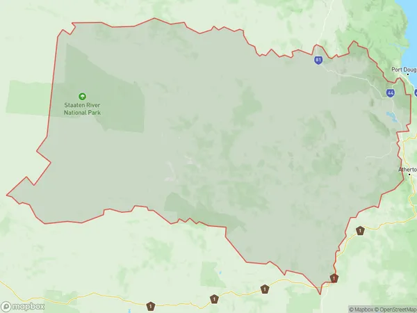
52403 square kilometers (52,403 ㎢)Postal Codes
4871, 4872, 4880, 4887, and 4892 (In total, there are 5 postcodes in Tablelands.)Tablelands Introduction
The Tablelands are a mountain range located in the northeastern part of Queensland, Australia. They are part of the Great Dividing Range and rise to an elevation of approximately 1,200 meters above sea level. The Tablelands are known for their scenic beauty, including waterfalls, forests, and lakes. The region is also home to a variety of wildlife, including kangaroos, wallabies, and birds. The Tablelands are a popular tourist destination and are known for their outdoor activities, such as hiking, camping, and fishing. The region is also home to several towns, including Atherton, Mount Superbus, and Kuranda.Australia State
City or Big Region
Greater Capital City
Rest of Qld (3RQLD)District or Regional Area
Suburb Name
Tablelands Region Map

Tablelands Postcodes / Zip Codes
Tablelands Suburbs
Tablelands full address
Tablelands, Far North, Queensland Outback, Queensland, QLD, Australia, SaCode: 315011400Country
Tablelands, Far North, Queensland Outback, Queensland, QLD, Australia, SaCode: 315011400
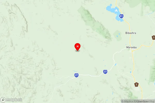
Tablelands Suburbs & Region, Tablelands Map & Postcodes has 0 areas or regions above, and there are 45 Tablelands suburbs below. The sa2code for the Tablelands region is 315011400. Its latitude and longitude coordinates are -17.0128,145.136. Tablelands area belongs to Australia's greater capital city Rest of Qld.
Tablelands Suburbs & Localities
1. Bolwarra
2. Chillagoe
3. Fossilbrook
4. Hurricane
5. Rookwood
6. Desailly
7. Nychum
8. Thornborough
9. Dimbulah
10. Staaten
11. Wrotham
12. Arriga
13. Biboohra
14. Irvinebank
15. Watsonville
16. Bellevue
17. Almaden
18. Amber
19. Bulleringa
20. Crystalbrook
21. Mount Molloy
22. Mount Mulligan
23. Southedge
24. Strathmore
25. Forty Mile
26. Munderra
27. Mutchilba
28. Chewko
29. Julatten
30. Mount Carbine
31. Petford
32. Springfield
33. Barwidgi
34. Bilwon
35. Glen Russell
36. Maryfarms
37. Paddys Green
38. Arbouin
39. Groganville
40. Lyndside
41. Mount Mulgrave
42. Ravensworth
43. Gamboola
44. Highbury
45. Red River
