Thursday Island Area, Thursday Island Postcode(4875) & Map in Thursday Island, Queensland - Outback, QLD
Thursday Island Area, Thursday Island Postcode(4875) & Map in Thursday Island, Queensland - Outback, QLD, AU, Postcode: 4875
Thursday Island, Torres, Far North, Queensland - Outback, Queensland, Australia, 4875
Thursday Island Postcode
Area Name
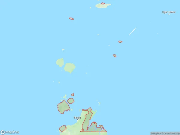
Thursday IslandThursday Island Suburb Area Map (Polygon)
Thursday Island Introduction
Thursday Island is a remote island in the Torres Strait, part of the Queensland coast in Australia. It is known for its beautiful beaches, crystal-clear waters, and rich cultural heritage. The island is home to a small population of indigenous people, including the Torres Strait Islanders, who have a unique language and culture. Visitors can explore the island's history, visit local markets, and enjoy the stunning scenery.State Name
City or Big Region
District or Regional Area
Suburb Name
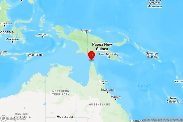
Thursday Island Region Map
Country
Main Region in AU
R3Coordinates
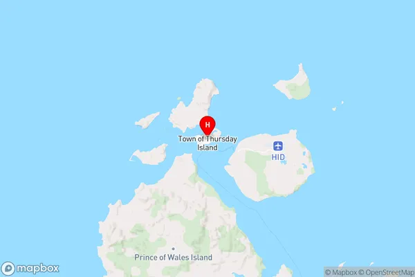
-10.5799169,142.2193906 (latitude/longitude)Thursday Island Area Map (Street)
Longitude
143.769211Latitude
-9.584901Thursday Island Elevation
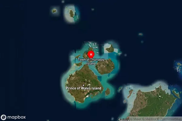
about 85.45 meters height above sea level (Altitude)Thursday Island Suburb Map (Satellite)
Distances
The distance from Thursday Island, Queensland - Outback, QLD to AU Greater Capital CitiesSA1 Code 2011
31501140107SA1 Code 2016
31501140107SA2 Code
315011401SA3 Code
31501SA4 Code
315RA 2011
5RA 2016
5MMM 2015
7MMM 2019
7Charge Zone
Q4LGA Region
Torres Strait IslandLGA Code
36960Electorate
Leichhardt