Tanbar Area, Tanbar Postcode(4481) & Map in Tanbar, Queensland - Outback, QLD
Tanbar Area, Tanbar Postcode(4481) & Map in Tanbar, Queensland - Outback, QLD, AU, Postcode: 4481
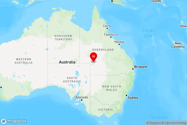
Tanbar, Far Central West, Outback - South, Queensland - Outback, Queensland, Australia, 4481
Tanbar Postcode
Area Name
TanbarTanbar Suburb Area Map (Polygon)

Tanbar Introduction
Tanbar is a small town in Queensland, Australia, located in the Outback region. It is known for its cattle ranching and mining industries and has a population of around 1,000 people. The town is located on the banks of the Tanbar River and has a number of tourist attractions, including a museum and a wildlife park.State Name
City or Big Region
District or Regional Area
Suburb Name
Tanbar Region Map
Country
Main Region in AU
R3Coordinates
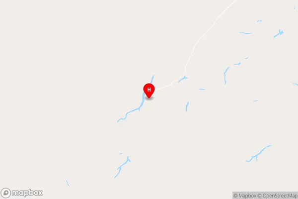
-25.8435025,141.922673 (latitude/longitude)Tanbar Area Map (Street)
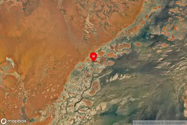
Longitude
141.581266Latitude
-25.377582Tanbar Suburb Map (Satellite)
Distances
The distance from Tanbar, Queensland - Outback, QLD to AU Greater Capital CitiesSA1 Code 2011
31503141007SA1 Code 2016
31503141007SA2 Code
315031410SA3 Code
31503SA4 Code
315RA 2011
5RA 2016
5MMM 2015
7MMM 2019
7Charge Zone
Q3LGA Region
BarcooLGA Code
30450Electorate
Maranoa