Gowrie Station Area, Gowrie Station Postcode(4470) & Map in Gowrie Station, Queensland - Outback, QLD
Gowrie Station Area, Gowrie Station Postcode(4470) & Map in Gowrie Station, Queensland - Outback, QLD, AU, Postcode: 4470
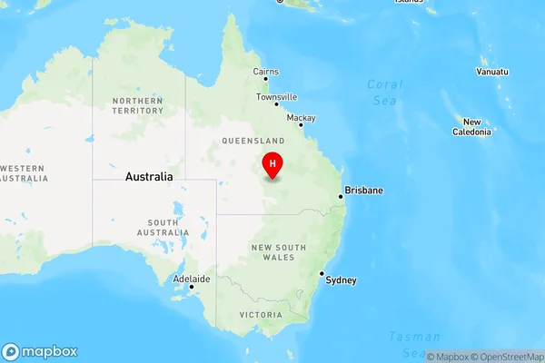
Gowrie Station, Charleville, Outback - South, Queensland - Outback, Queensland, Australia, 4470
Gowrie Station Postcode
Area Name
Gowrie StationGowrie Station Suburb Area Map (Polygon)

Gowrie Station Introduction
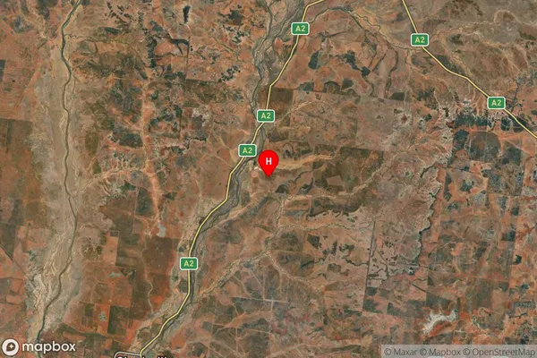
Gowrie Station is a cattle station located in the Outback of Queensland, Australia. It covers an area of over 10,000 square kilometers and is home to a herd of over 100,000 cattle. The station is known for its rugged terrain, including sand dunes and rocky outcrops, and is a popular destination for tourists seeking a taste of the Australian Outback.State Name
City or Big Region
District or Regional Area
Suburb Name
Gowrie Station Region Map
Country
Main Region in AU
R3Coordinates
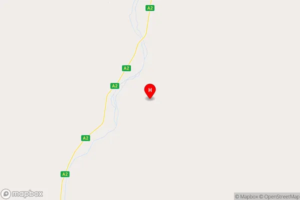
-26.1550655,146.4316977 (latitude/longitude)Gowrie Station Area Map (Street)
Longitude
146.4317226Latitude
-26.15513092Gowrie Station Elevation
about 346.31 meters height above sea level (Altitude)Gowrie Station Suburb Map (Satellite)
Distances
The distance from Gowrie Station, Queensland - Outback, QLD to AU Greater Capital CitiesSA1 Code 2011
31503140902SA1 Code 2016
31503140902SA2 Code
315031409SA3 Code
31503SA4 Code
315RA 2011
5RA 2016
5MMM 2015
7MMM 2019
7Charge Zone
Q3LGA Region
MurwehLGA Code
35600Electorate
Maranoa