Augathella Area, Augathella Postcode(4477) & Map in Augathella, Queensland - Outback, QLD
Augathella Area, Augathella Postcode(4477) & Map in Augathella, Queensland - Outback, QLD, AU, Postcode: 4477
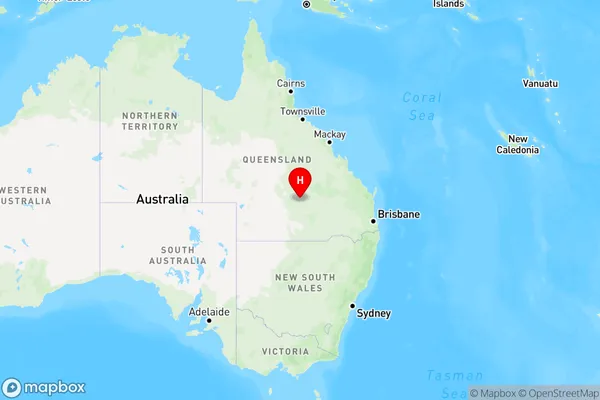
Augathella, Charleville, Outback - South, Queensland - Outback, Queensland, Australia, 4477
Augathella Postcode
Area Name
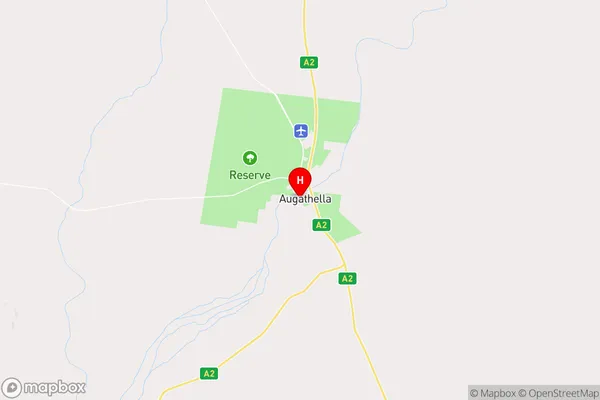
AugathellaAugathella Suburb Area Map (Polygon)

Augathella Introduction
Augathella is a small town in Queensland, Australia, located in the Outback region. It is known for its natural beauty, including the Augathella National Park and the Carnarvon National Park. The town has a population of around 1,000 people and is a popular destination for tourists seeking a rural experience.State Name
City or Big Region
District or Regional Area
Suburb Name
Augathella Region Map
Country
Main Region in AU
R3Coordinates
-25.7976631,146.5854824 (latitude/longitude)Augathella Area Map (Street)
Longitude
147.059769Latitude
-25.444837Augathella Elevation
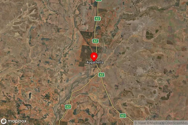
about 585.79 meters height above sea level (Altitude)Augathella Suburb Map (Satellite)
Distances
The distance from Augathella, Queensland - Outback, QLD to AU Greater Capital CitiesSA1 Code 2011
31503140912SA1 Code 2016
31503140912SA2 Code
315031409SA3 Code
31503SA4 Code
315RA 2011
5RA 2016
5MMM 2015
7MMM 2019
7Charge Zone
Q3LGA Region
MurwehLGA Code
35600Electorate
Maranoa