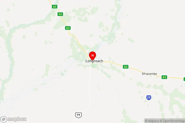
Longreach Suburbs & Region, Longreach Map & Postcodes
Longreach Suburbs & Region, Longreach Map & Postcodes in Longreach, Outback South, Queensland Outback, QLD, AU
Longreach Region
Region Name
Longreach (QLD, AU)Longreach Area
40572 square kilometers (40,572 ㎢)Postal Codes
4702, 4727, 4730, and 4731 (In total, there are 4 postcodes in Longreach.)Longreach Introduction
Longreach is a city in Queensland, Australia, located in the Central West region. It is the administrative center of the Longreach Shire and is situated approximately 1,100 kilometers west of the state capital, Brisbane. The city was founded in 1879 and named after the Longreach River, which flows through it. Longreach is known for its historic significance as a hub of the Queensland outback and for being the birthplace of Qantas. It is home to the Qantas Founders Museum, which showcases the history of the airline and the region. The city also hosts the Longreach Show, one of the largest rural shows in Australia, which attracts visitors from around the country.Australia State
City or Big Region
Greater Capital City
Rest of Qld (3RQLD)District or Regional Area
Suburb Name
Longreach Region Map

Longreach Postcodes / Zip Codes
Longreach Suburbs
Longreach full address
Longreach, Outback South, Queensland Outback, Queensland, QLD, Australia, SaCode: 315031412Country
Longreach, Outback South, Queensland Outback, Queensland, QLD, Australia, SaCode: 315031412
Longreach Suburbs & Region, Longreach Map & Postcodes has 0 areas or regions above, and there are 14 Longreach suburbs below. The sa2code for the Longreach region is 315031412. Its latitude and longitude coordinates are -23.4403,144.251. Longreach area belongs to Australia's greater capital city Rest of Qld.
Longreach Suburbs & Localities
1. Ilfracombe
2. Ernestina
3. Yaraka
4. Camoola
5. Morella
6. Tocal
7. Vergemont
8. Ernestina
9. Isisford
10. Yaraka
11. Brixton
12. Chorregon
13. Longreach
14. Maneroo
