Camoola Area, Camoola Postcode(4730) & Map in Camoola, Queensland - Outback, QLD
Camoola Area, Camoola Postcode(4730) & Map in Camoola, Queensland - Outback, QLD, AU, Postcode: 4730
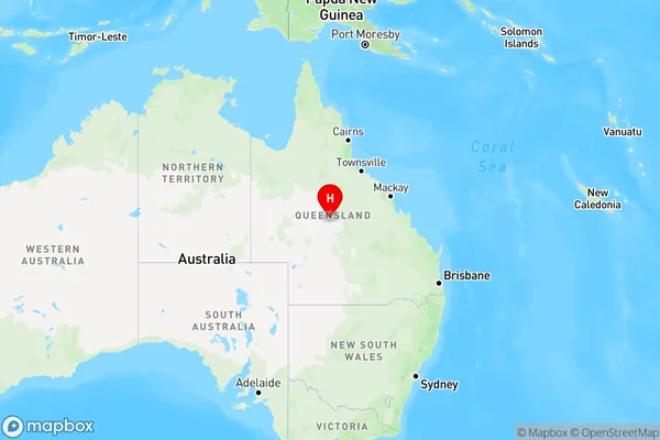
Camoola, Longreach, Outback - South, Queensland - Outback, Queensland, Australia, 4730
Camoola Postcode
Area Name
CamoolaCamoola Suburb Area Map (Polygon)

Camoola Introduction
Camoola is a small town in the Outback of Queensland, Australia, known for its cattle ranching and mining industries. It is located in the Shire of Diamantina and has a population of around 1,000 people. The town is situated on the Diamantina River and is a popular stop for tourists traveling through the region.State Name
City or Big Region
District or Regional Area
Suburb Name
Camoola Region Map
Country
Main Region in AU
R3Coordinates
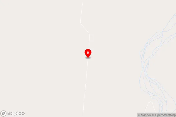
-22.8990009,144.3384691 (latitude/longitude)Camoola Area Map (Street)
Longitude
143.402522Latitude
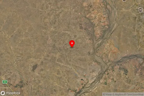
-23.790711Camoola Suburb Map (Satellite)
Distances
The distance from Camoola, Queensland - Outback, QLD to AU Greater Capital CitiesSA1 Code 2011
31503141211SA1 Code 2016
31503141211SA2 Code
315031412SA3 Code
31503SA4 Code
315RA 2011
5RA 2016
5MMM 2015
7MMM 2019
7Charge Zone
Q3LGA Region
LongreachLGA Code
34710Electorate
Maranoa