Pelican Creek Area, Pelican Creek Postcode(4726) & Map in Pelican Creek, Queensland - Outback, QLD
Pelican Creek Area, Pelican Creek Postcode(4726) & Map in Pelican Creek, Queensland - Outback, QLD, AU, Postcode: 4726
Pelican Creek, Barcaldine - Blackall, Outback - South, Queensland - Outback, Queensland, Australia, 4726
Pelican Creek Postcode
Area Name
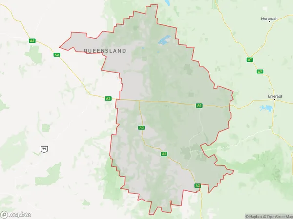
Pelican CreekPelican Creek Suburb Area Map (Polygon)
Pelican Creek Introduction
Pelican Creek is a remote outback town in Queensland, Australia, known for its scenic beauty and fishing opportunities. It is located on the banks of the Pelican Creek, which flows into the Gulf of Carpentaria. The town has a population of around 1,000 people and is a popular destination for tourists seeking a taste of the Australian bush.State Name
City or Big Region
District or Regional Area
Suburb Name
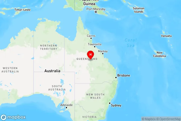
Pelican Creek Region Map
Country
Main Region in AU
R3Coordinates
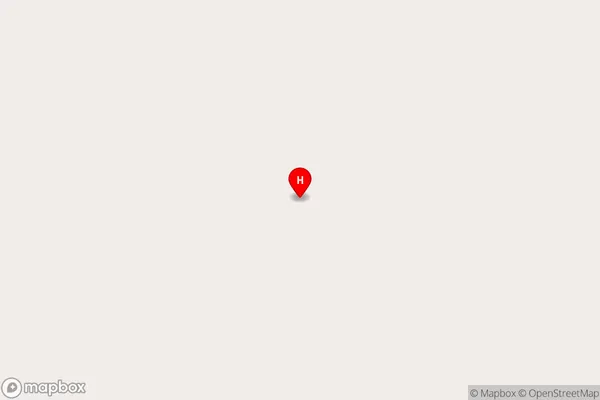
-22.9916587,145.6127666 (latitude/longitude)Pelican Creek Area Map (Street)
Longitude
145.3880016Latitude
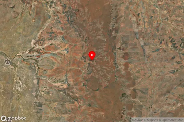
-22.86094029Pelican Creek Suburb Map (Satellite)
Distances
The distance from Pelican Creek, Queensland - Outback, QLD to AU Greater Capital CitiesSA1 Code 2011
31503140808SA1 Code 2016
31503140808SA2 Code
315031408SA3 Code
31503SA4 Code
315RA 2011
5RA 2016
5MMM 2015
7MMM 2019
7Charge Zone
Q3LGA Region
BarcaldineLGA Code
30410Electorate
Maranoa