Murweh Area, Murweh Postcode(4470) & Map in Murweh, Queensland - Outback, QLD
Murweh Area, Murweh Postcode(4470) & Map in Murweh, Queensland - Outback, QLD, AU, Postcode: 4470
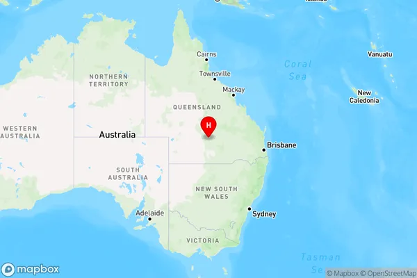
Murweh, Charleville, Outback - South, Queensland - Outback, Queensland, Australia, 4470
Murweh Postcode
Area Name
MurwehMurweh Suburb Area Map (Polygon)

Murweh Introduction
Murweh is a town in the Outback region of Queensland, Australia. It is known for its cattle and sheep farming and is a popular destination for tourists seeking a taste of the Australian bush. The town has a population of around 1,000 people and is located about 400 kilometers west of Brisbane.State Name
City or Big Region
District or Regional Area
Suburb Name
Murweh Region Map
Country
Main Region in AU
R3Coordinates
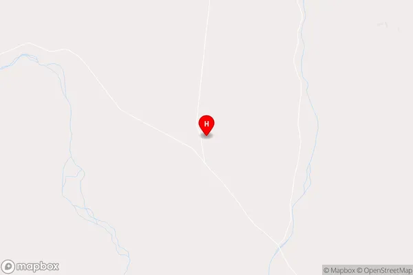
-26.2260696,146.0249982 (latitude/longitude)Murweh Area Map (Street)
Longitude
145.7390909Latitude
-26.93045501Murweh Elevation
about 253.19 meters height above sea level (Altitude)Murweh Suburb Map (Satellite)

Distances
The distance from Murweh, Queensland - Outback, QLD to AU Greater Capital CitiesSA1 Code 2011
31503140902SA1 Code 2016
31503140902SA2 Code
315031409SA3 Code
31503SA4 Code
315RA 2011
5RA 2016
5MMM 2015
7MMM 2019
7Charge Zone
Q3LGA Region
MurwehLGA Code
35600Electorate
Maranoa