Thargomindah Area, Thargomindah Postcode(4492) & Map in Thargomindah, Queensland - Outback, QLD
Thargomindah Area, Thargomindah Postcode(4492) & Map in Thargomindah, Queensland - Outback, QLD, AU, Postcode: 4492
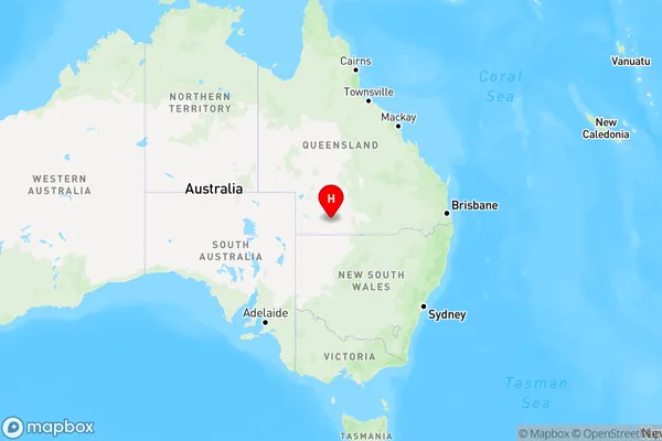
Thargomindah, Far South West, Outback - South, Queensland - Outback, Queensland, Australia, 4492
Thargomindah Postcode
Area Name
ThargomindahThargomindah Suburb Area Map (Polygon)

Thargomindah Introduction
Thargomindah is a town in Queensland, Australia, located in the Outback region. It is known for its rich history and cultural heritage, including the Thargomindah Historical Museum and the Thargomindah Rodeo. The town is also a hub for agriculture and mining, with many farms and mines in the surrounding area.State Name
City or Big Region
District or Regional Area
Suburb Name
Thargomindah Region Map
Country
Main Region in AU
R3Coordinates
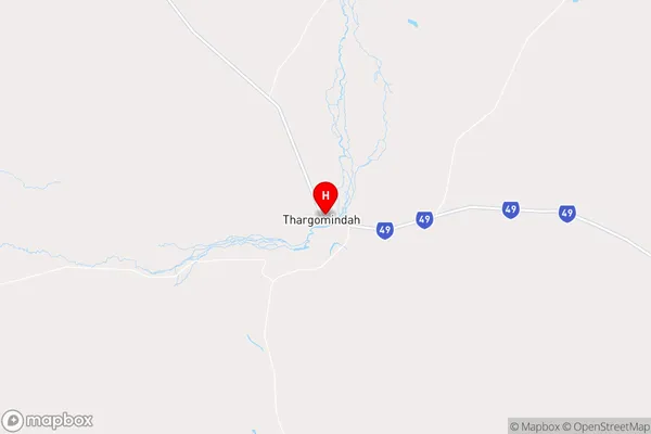
-27.994444,143.8229332 (latitude/longitude)Thargomindah Area Map (Street)
Longitude
143.224764Latitude
-28.190899Thargomindah Elevation
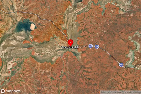
about 109.18 meters height above sea level (Altitude)Thargomindah Suburb Map (Satellite)
Distances
The distance from Thargomindah, Queensland - Outback, QLD to AU Greater Capital CitiesSA1 Code 2011
31503141110SA1 Code 2016
31503141110SA2 Code
315031411SA3 Code
31503SA4 Code
315RA 2011
5RA 2016
5MMM 2015
7MMM 2019
7Charge Zone
Q3LGA Region
BullooLGA Code
31750Electorate
Maranoa