Ward Area, Ward Postcode(4470) & Map in Ward, Queensland - Outback, QLD
Ward Area, Ward Postcode(4470) & Map in Ward, Queensland - Outback, QLD, AU, Postcode: 4470
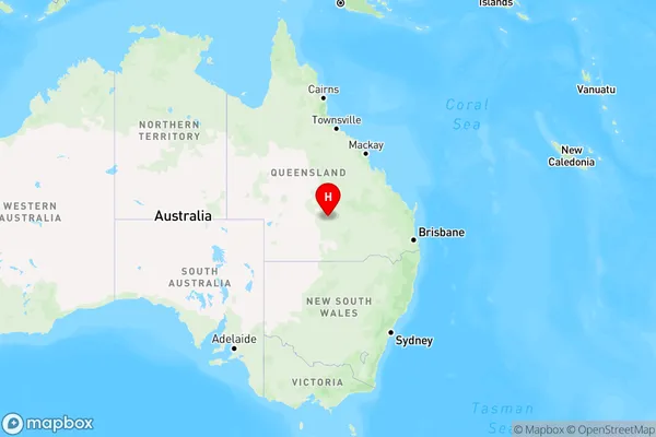
Ward, Charleville, Outback - South, Queensland - Outback, Queensland, Australia, 4470
Ward Postcode
Area Name
WardWard Suburb Area Map (Polygon)

Ward Introduction
Ward, Queensland is a small town in the Outback of Queensland, Australia. It is known for its rich history and cultural heritage, including the Ward Museum and the Ward Historical Village. The town is also a popular destination for tourists seeking to experience the Australian Outback.State Name
City or Big Region
District or Regional Area
Suburb Name
Ward Region Map
Country
Main Region in AU
R3Coordinates
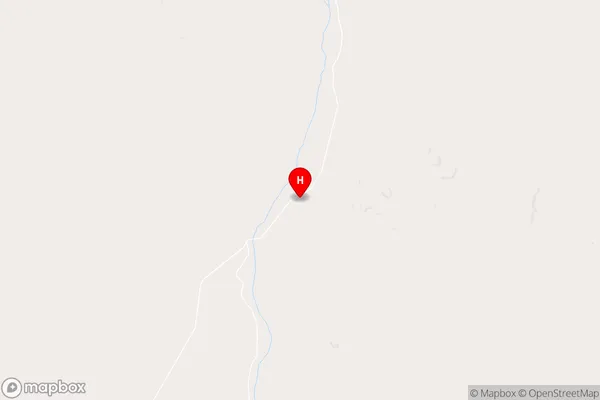
-25.9252,146.147 (latitude/longitude)Ward Area Map (Street)
Longitude
146.2406534Latitude
-25.68590212Ward Elevation
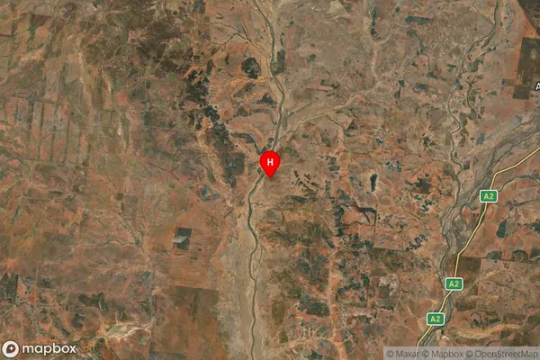
about 346.31 meters height above sea level (Altitude)Ward Suburb Map (Satellite)
Distances
The distance from Ward, Queensland - Outback, QLD to AU Greater Capital CitiesSA1 Code 2011
31503140902SA1 Code 2016
31503140902SA2 Code
315031409SA3 Code
31503SA4 Code
315RA 2011
5RA 2016
5MMM 2015
7MMM 2019
7Charge Zone
Q3LGA Region
MurwehLGA Code
35600Electorate
Maranoa