Eromanga Area, Eromanga Postcode(4480) & Map in Eromanga, Queensland - Outback, QLD
Eromanga Area, Eromanga Postcode(4480) & Map in Eromanga, Queensland - Outback, QLD, AU, Postcode: 4480
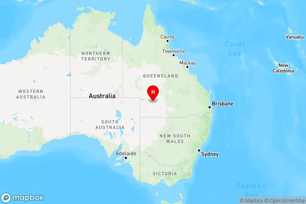
Eromanga, Far South West, Outback - South, Queensland - Outback, Queensland, Australia, 4480
Eromanga Postcode
Area Name
EromangaEromanga Suburb Area Map (Polygon)

Eromanga Introduction
Eromanga, Queensland is a small town in the Outback of Australia. It is known for its rich history and culture, including the Eromanga Natural History Museum and the Eromanga Natural History Reserve. The town is also a popular destination for tourists who enjoy outdoor activities such as hiking, camping, and wildlife watching.State Name
City or Big Region
District or Regional Area
Suburb Name
Eromanga Region Map
Country
Main Region in AU
R3Coordinates
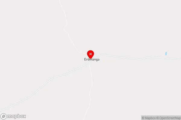
-26.6687818,143.26759 (latitude/longitude)Eromanga Area Map (Street)
Longitude
143.274156Latitude
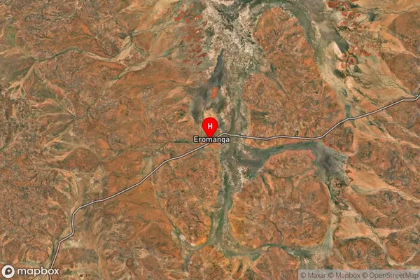
-26.248504Eromanga Suburb Map (Satellite)
Distances
The distance from Eromanga, Queensland - Outback, QLD to AU Greater Capital CitiesSA1 Code 2011
31503141104SA1 Code 2016
31503141104SA2 Code
315031411SA3 Code
31503SA4 Code
315RA 2011
5RA 2016
5MMM 2015
7MMM 2019
7Charge Zone
Q3LGA Region
QuilpieLGA Code
36150Electorate
Maranoa