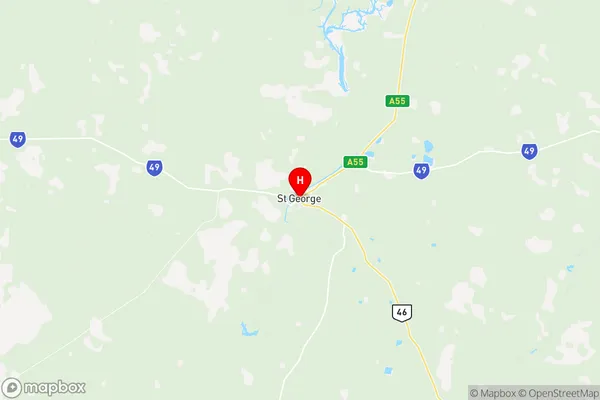
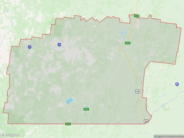
Balonne Suburbs & Region, Balonne Map & Postcodes
Balonne Suburbs & Region, Balonne Map & Postcodes in Balonne, Outback South, Queensland Outback, QLD, AU
Balonne Region
Region Name
Balonne (QLD, AU)Balonne Area
31104 square kilometers (31,104 ㎢)Postal Codes
2406, from 4486 to 4488, and 4497 (In total, there are 5 postcodes in Balonne.)Balonne Introduction
Balonne is a locality in the Maranoa Region, Queensland, Australia. It is one of the major gateways to the Surat Basin from the Queensland coast. The town is located 567 kilometers west of Brisbane and 135 kilometers south of the state capital, Toowoomba. The Balonne River, which flows through the town, is a major tributary of the Darling River. The town has a population of around 2,000 people and is a hub for agricultural and pastoral activities in the region. The nearby Surat Basin is one of the most productive agricultural areas in Australia, producing cotton, grain, and livestock.Australia State
City or Big Region
Greater Capital City
Rest of Qld (3RQLD)District or Regional Area
Suburb Name
Balonne Region Map

Balonne Postcodes / Zip Codes
Balonne Suburbs
Balonne full address
Balonne, Outback South, Queensland Outback, Queensland, QLD, Australia, SaCode: 307011171Country
Balonne, Outback South, Queensland Outback, Queensland, QLD, Australia, SaCode: 307011171
Balonne Suburbs & Region, Balonne Map & Postcodes has 0 areas or regions above, and there are 10 Balonne suburbs below. The sa2code for the Balonne region is 307011171. Its latitude and longitude coordinates are -28.0385,148.582. Balonne area belongs to Australia's greater capital city Rest of Qld.
Balonne Suburbs & Localities
1. Mungindi
2. Mungindi
3. Weemelah
4. St George
5. Bargunyah
6. Dirranbandi
7. Bollon
8. Thallon
9. Hebel
10. Bindebango
