Thallon Area, Thallon Postcode(4497) & Map in Thallon, Darling Downs - Maranoa, QLD
Thallon Area, Thallon Postcode(4497) & Map in Thallon, Darling Downs - Maranoa, QLD, AU, Postcode: 4497
Thallon, Balonne, Darling Downs (West) - Maranoa, Darling Downs - Maranoa, Queensland, Australia, 4497
Thallon Postcode
Area Name
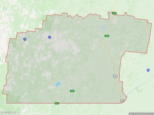
ThallonThallon Suburb Area Map (Polygon)
Thallon Introduction
Thallon is a town in the Maranoa Region of Queensland, Australia. It is located 28 km west of Roma and 30 km east of Surat. The town is named after the Thallon pastoral run, which was established in 1842.State Name
City or Big Region
District or Regional Area
Suburb Name
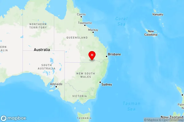
Thallon Region Map
Country
Main Region in AU
R3Coordinates
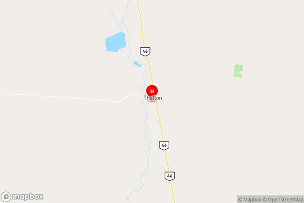
-28.6390951,148.8644026 (latitude/longitude)Thallon Area Map (Street)
Longitude
148.753584Latitude
-28.645485Thallon Elevation
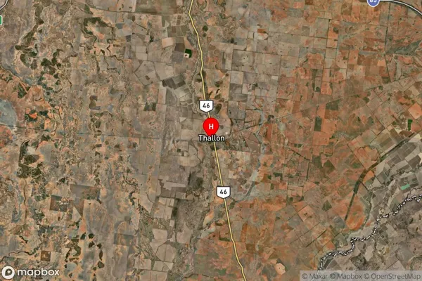
about 174.76 meters height above sea level (Altitude)Thallon Suburb Map (Satellite)
Distances
The distance from Thallon, Darling Downs - Maranoa, QLD to AU Greater Capital CitiesSA1 Code 2011
30701117110SA1 Code 2016
30701117110SA2 Code
307011171SA3 Code
30701SA4 Code
307RA 2011
4RA 2016
4MMM 2015
6MMM 2019
6Charge Zone
Q3LGA Region
BalonneLGA Code
30300Electorate
Maranoa