Roma Region Suburbs & Region, Roma Region Map & Postcodes
Roma Region Suburbs & Region, Roma Region Map & Postcodes in Roma Region, Outback South, Queensland Outback, QLD, AU
Roma Region Region
Region Name
Roma Region (QLD, AU)Roma Region Area
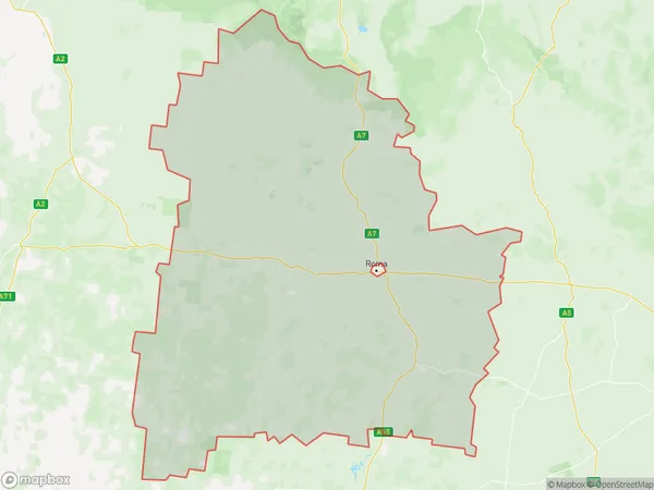
58626 square kilometers (58,626 ㎢)Roma Region Suburb Area Map (Polygon)
Roma Region Introduction
Roma Region is a remote and sparsely populated area in Queensland's Outback, known for its vast landscapes, rich history, and unique cultural heritage. It is home to the traditional owners, the Roma people, who have a strong connection to the land and its resources. The region is characterized by its dry and arid climate, with hot summers and cold winters. It is home to a variety of wildlife, including kangaroos, wallabies, and emus. The Roma people have a rich cultural heritage, with traditional practices and languages that have been passed down through generations. They are known for their intricate artwork, music, and dance, and their traditional knowledge of the land and its resources. The region is also home to several important historical sites, including the Roma Downs Station, which was established in the 1880s and is one of the largest cattle stations in the world. The station is now a heritage-listed site and is a popular tourist destination.Australia State
City or Big Region
Greater Capital City
Rest of Qld (3RQLD)District or Regional Area
Suburb Name
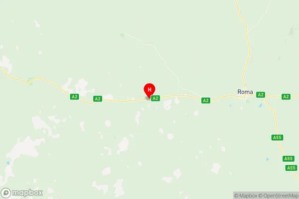
Roma Region Region Map
Roma Region Suburbs
Roma Region full address
Roma Region, Outback South, Queensland Outback, Queensland, QLD, Australia, SaCode: 307011177Country
Roma Region, Outback South, Queensland Outback, Queensland, QLD, Australia, SaCode: 307011177
Roma Region Suburbs & Region, Roma Region Map & Postcodes has 0 areas or regions above, and there are 0 Roma Region suburbs below. The sa2code for the Roma Region region is 307011177. Its latitude and longitude coordinates are -26.5862,148.524. Roma Region area belongs to Australia's greater capital city Rest of Qld.