Cornwall Area, Cornwall Postcode(4455) & Map in Cornwall, Darling Downs - Maranoa, QLD
Cornwall Area, Cornwall Postcode(4455) & Map in Cornwall, Darling Downs - Maranoa, QLD, AU, Postcode: 4455
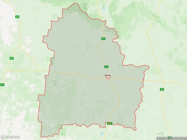
Cornwall, Roma Region, Darling Downs (West) - Maranoa, Darling Downs - Maranoa, Queensland, Australia, 4455
Cornwall Postcode
Area Name
CornwallCornwall Suburb Area Map (Polygon)
Cornwall Introduction
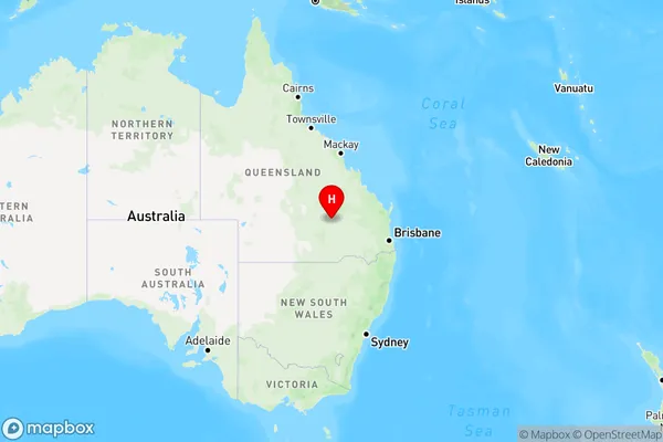
Cornwall, Darling Downs - Maranoa, QLD, AU is a rural locality in the Maranoa Region, Queensland, Australia. It is located 30 km north-west of Roma and 70 km south-west of Surat. The town is named after Cornwall, England, and has a population of approximately 1,000 people. Cornwall is known for its agricultural industry, particularly wheat and cotton farming. It also has a number of tourist attractions, including the Cornwall Goldfields and the Maranoa River.State Name
City or Big Region
District or Regional Area
Suburb Name
Cornwall Region Map
Country
Main Region in AU
R3Coordinates
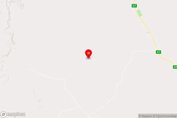
-26.0816891,148.4418038 (latitude/longitude)Cornwall Area Map (Street)
Longitude
148.690231Latitude
-26.73282Cornwall Elevation
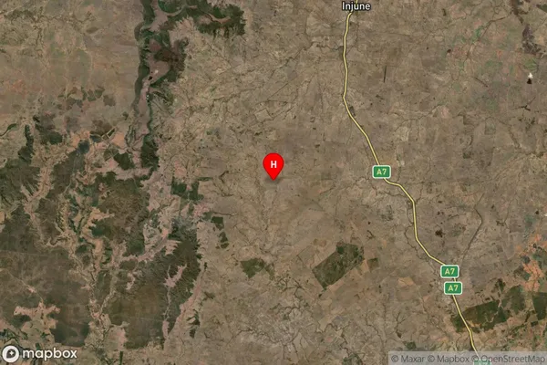
about 298.65 meters height above sea level (Altitude)Cornwall Suburb Map (Satellite)
Distances
The distance from Cornwall, Darling Downs - Maranoa, QLD to AU Greater Capital CitiesSA1 Code 2011
30701117718SA1 Code 2016
30701117721SA2 Code
307011177SA3 Code
30701SA4 Code
307RA 2011
5RA 2016
4MMM 2015
7MMM 2019
6Charge Zone
Q3LGA Region
MaranoaLGA Code
34860Electorate
Maranoa