Wheat Belt South Suburbs & Region, Wheat Belt South Map & Postcodes
Wheat Belt South Suburbs & Region, Wheat Belt South Map & Postcodes in Wheat Belt South, Western Australia Wheat Belt, WA, AU
Wheat Belt South Region
Region Name
Wheat Belt South (WA, AU)Wheat Belt South Area
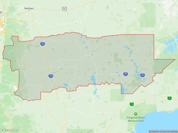
48763 square kilometers (48,763 ㎢)Wheat Belt South Suburb Area Map (Polygon)
Wheat Belt South Introduction
The Wheat Belt South region of Western Australia is a major agricultural area known for its production of wheat, barley, and other cereals. It is located in the southern part of the state, between the Darling Range and the Southern Ocean, and covers an area of approximately 100,000 square kilometers. The region has a temperate climate with hot summers and mild winters, and is well-suited for farming. The Wheat Belt South is home to a number of towns and cities, including Perth, Albany, and Bunbury, which are major hubs for agricultural trade and processing. The region is also home to a number of important agricultural research institutions, such as the Western Australian Crop Research Institute and the Australian Wheat Board.Australia State
City or Big Region
District or Regional Area
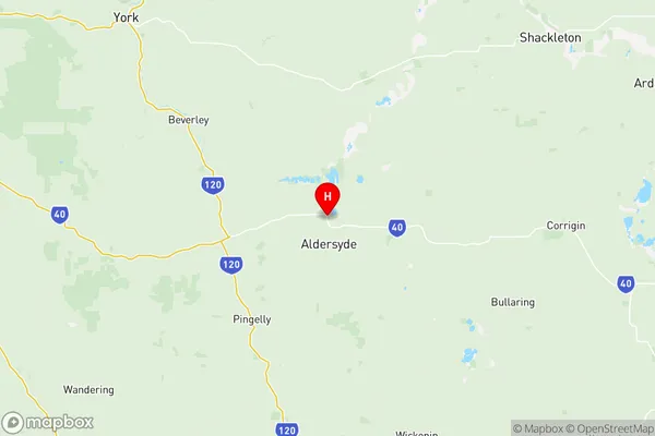
Wheat Belt South Region Map
Wheat Belt South Suburbs
Kambalda Coolgardie Norseman
Wheat Belt South full address
Wheat Belt South, Western Australia Wheat Belt, Western Australia, WA, Australia, SaCode: 50903Country
Wheat Belt South, Western Australia Wheat Belt, Western Australia, WA, Australia, SaCode: 50903
Wheat Belt South Suburbs & Region, Wheat Belt South Map & Postcodes has 11 areas or regions above, and there are 0 Wheat Belt South suburbs below. The sa3code for the Wheat Belt South region is 50903. Its latitude and longitude coordinates are -32.317,117.276.