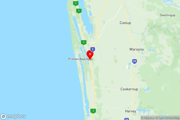
Waroona Suburbs & Region, Waroona Map & Postcodes
Waroona Suburbs & Region, Waroona Map & Postcodes in Waroona, Wheat Belt South, Western Australia Wheat Belt, WA, AU
Waroona Region
Region Name
Waroona (WA, AU)Waroona Area
832.23 square kilometers (832.23 ㎢)Postal Codes
6215 (In total, there are 1 postcodes in Waroona.)Waroona Introduction
Waroona is a town in the Shire of Harvey, Western Australia, 262 kilometers southeast of Perth, the state capital. It is part of the Wheatbelt region. The town was named after the Waroona River, which flows through it. The post office opened on 1 July 1913 and was closed on 1 March 1974. The town has a primary school and a community hall. The nearest major town is Harvey, 26 kilometers away.Australia State
City or Big Region
Greater Capital City
Rest of WA (5RWAU)District or Regional Area
Suburb Name
Waroona Region Map

Waroona Postcodes / Zip Codes
Waroona Suburbs
Waroona full address
Waroona, Wheat Belt South, Western Australia Wheat Belt, Western Australia, WA, Australia, SaCode: 501021016Country
Waroona, Wheat Belt South, Western Australia Wheat Belt, Western Australia, WA, Australia, SaCode: 501021016
Waroona Suburbs & Region, Waroona Map & Postcodes has 0 areas or regions above, and there are 6 Waroona suburbs below. The sa2code for the Waroona region is 501021016. Its latitude and longitude coordinates are -32.8843,115.713. Waroona area belongs to Australia's greater capital city Rest of WA.
Waroona Suburbs & Localities
1. Wagerup
2. Lake Clifton
3. Nanga Brook
4. Waroona
5. Hamel
6. Preston Beach
