Preston Beach Area, Preston Beach Postcode(6215) & Map in Preston Beach, Bunbury, WA
Preston Beach Area, Preston Beach Postcode(6215) & Map in Preston Beach, Bunbury, WA, AU, Postcode: 6215
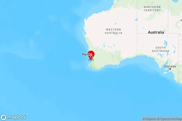
Preston Beach, Waroona, Bunbury, Bunbury, Western Australia, Australia, 6215
Preston Beach Postcode
Area Name
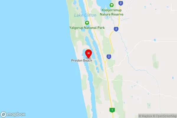
Preston BeachPreston Beach Suburb Area Map (Polygon)

Preston Beach Introduction
Preston Beach is a popular beach in Bunbury, WA, AU, known for its long stretches of sandy shoreline, clear waters, and scenic views. It's a great spot for swimming, surfing, and fishing, and there are also several parks and picnic areas nearby.State Name
City or Big Region
District or Regional Area
Suburb Name
Preston Beach Region Map
Country
Main Region in AU
R3Coordinates
-32.8775888,115.6741375 (latitude/longitude)Preston Beach Area Map (Street)
Longitude
115.896715Latitude
-32.853807Preston Beach Elevation
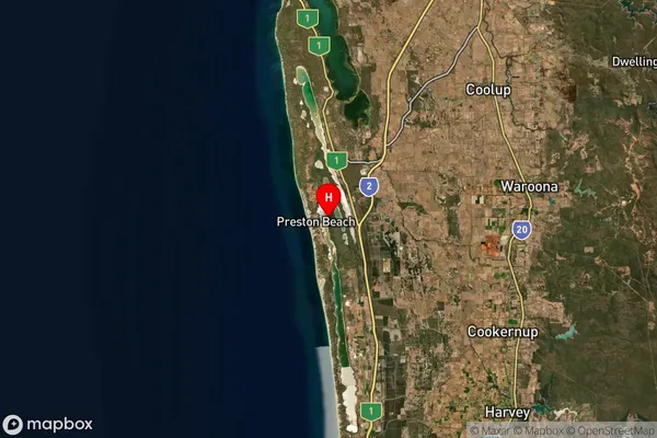
about 26.97 meters height above sea level (Altitude)Preston Beach Suburb Map (Satellite)
Distances
The distance from Preston Beach, Bunbury, WA to AU Greater Capital CitiesSA1 Code 2011
50102101612SA1 Code 2016
50102101612SA2 Code
501021016SA3 Code
50102SA4 Code
501RA 2011
2RA 2016
2MMM 2015
5MMM 2019
5Charge Zone
W2LGA Region
WaroonaLGA Code
58820Electorate
Canning