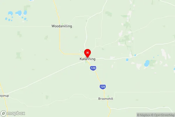
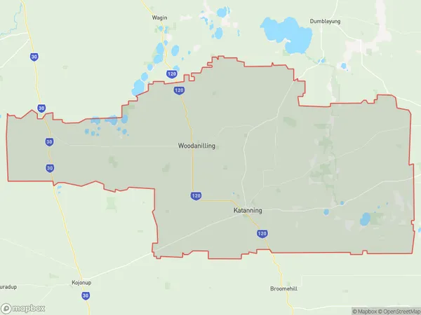
Katanning Suburbs & Region, Katanning Map & Postcodes
Katanning Suburbs & Region, Katanning Map & Postcodes in Katanning, Wheat Belt South, Western Australia Wheat Belt, WA, AU
Katanning Region
Region Name
Katanning (WA, AU)Katanning Area
2647 square kilometers (2,647 ㎢)Postal Codes
6316, 6317, and 6394 (In total, there are 3 postcodes in Katanning.)Katanning Introduction
Katanning is a town in the Wheatbelt region of Western Australia, 226 miles southeast of Perth, the state capital. It is the administrative center of the Shire of Katanning, which was established in 1905. The town is named after the Katanning River, which flows through it, and is known for its agriculture and mining industries. The town has a population of around 10,000 people and is home to several landmarks, including the Katanning Visitor Centre, the Western Australian Museum, and the Katanning Pool. The town is also a popular tourist destination, with visitors coming to explore the nearby natural attractions, including the Stirling Range National Park and the Pemberton National Park.Australia State
City or Big Region
Greater Capital City
Rest of WA (5RWAU)District or Regional Area
Suburb Name
Katanning Region Map

Katanning Postcodes / Zip Codes
Katanning Suburbs
Katanning full address
Katanning, Wheat Belt South, Western Australia Wheat Belt, Western Australia, WA, Australia, SaCode: 509011230Country
Katanning, Wheat Belt South, Western Australia Wheat Belt, Western Australia, WA, Australia, SaCode: 509011230
Katanning Suburbs & Region, Katanning Map & Postcodes has 0 areas or regions above, and there are 19 Katanning suburbs below. The sa2code for the Katanning region is 509011230. Its latitude and longitude coordinates are -33.6894,117.555. Katanning area belongs to Australia's greater capital city Rest of WA.
Katanning Suburbs & Localities
1. Woodanilling
2. Carrolup
3. Coyrecup
4. Ewlyamartup
5. Murdong
6. Beaufort River
7. Glencoe
8. Badgebup
9. Coblinine
10. Moojebing
11. South Glencoe
12. Kenmare
13. Westwood
14. Katanning
15. South Datatine
16. Boyerine
17. Cartmeticup
18. Marracoonda
19. Pinwernying
