Glencoe Area, Glencoe Postcode(6316) & Map in Glencoe, Western Australia - Wheat Belt, WA
Glencoe Area, Glencoe Postcode(6316) & Map in Glencoe, Western Australia - Wheat Belt, WA, AU, Postcode: 6316
Glencoe, Katanning, Albany, Western Australia - Wheat Belt, Western Australia, Australia, 6316
Glencoe Postcode
Area Name
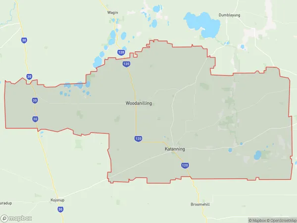
GlencoeGlencoe Suburb Area Map (Polygon)
Glencoe Introduction
Glencoe is a town in the Wheat Belt region of Western Australia, located 220 km southeast of Perth. It is known for its wheat production and is home to the Glencoe Hotel, which is a popular destination for tourists.State Name
City or Big Region
District or Regional Area
Suburb Name
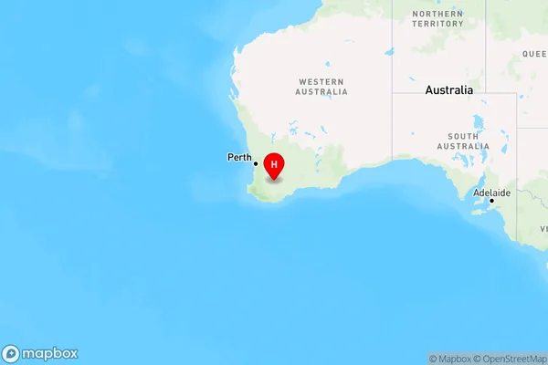
Glencoe Region Map
Country
Main Region in AU
R3Coordinates
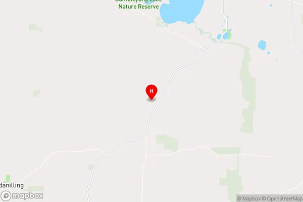
-33.4671397,117.6328456 (latitude/longitude)Glencoe Area Map (Street)
Longitude
117.384564Latitude
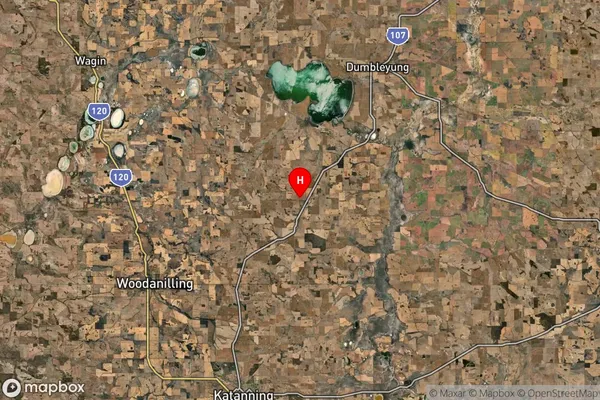
-33.532315Glencoe Suburb Map (Satellite)
Distances
The distance from Glencoe, Western Australia - Wheat Belt, WA to AU Greater Capital CitiesSA1 Code 2011
50901123010SA1 Code 2016
50901123010SA2 Code
509011230SA3 Code
50901SA4 Code
509RA 2011
3RA 2016
3MMM 2015
5MMM 2019
5Charge Zone
W2LGA Region
WoodanillingLGA Code
59320Electorate
Durack