Collie Suburbs & Region, Collie Map & Postcodes
Collie Suburbs & Region, Collie Map & Postcodes in Collie, Wheat Belt South, Western Australia Wheat Belt, WA, AU
Collie Region
Region Name
Collie (WA, AU)Collie Area
1710 square kilometers (1,710 ㎢)Postal Codes
6225 (In total, there are 1 postcodes in Collie.)Collie Introduction
Collie is a town in the Wheatbelt region of Western Australia, 265 kilometers southeast of Perth, the state capital. It is the administrative center of the Collie Shire. The town was established in 1891 and named after the Collie River, which flows through it. The town is a major agricultural center, with a large wheat industry. It is also home to a coal mine and a power station. Collie has a population of around 11,000 people and is known for its historic architecture and scenic surroundings. The town is surrounded by wheat fields and has a number of parks and recreational facilities, including a golf course and a swimming pool.Australia State
City or Big Region
Greater Capital City
Rest of WA (5RWAU)District or Regional Area
Suburb Name
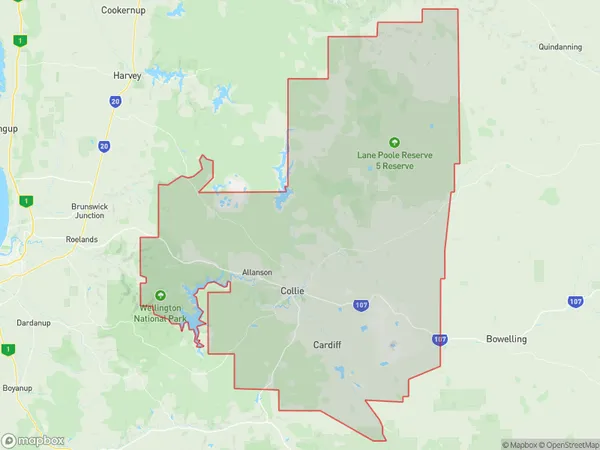
Collie Region Map

Collie Postcodes / Zip Codes
Collie Suburbs
Collie full address
Collie, Wheat Belt South, Western Australia Wheat Belt, Western Australia, WA, Australia, SaCode: 501021009Country
Collie, Wheat Belt South, Western Australia Wheat Belt, Western Australia, WA, Australia, SaCode: 501021009
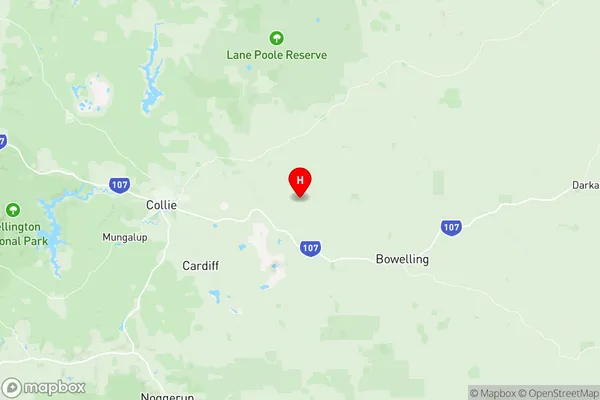
Collie Suburbs & Region, Collie Map & Postcodes has 0 areas or regions above, and there are 14 Collie suburbs below. The sa2code for the Collie region is 501021009. Its latitude and longitude coordinates are -33.3533,116.344. Collie area belongs to Australia's greater capital city Rest of WA.
Collie Suburbs & Localities
1. Allanson
2. Buckingham
3. Cardiff
4. Collie
5. Collie Burn
6. Harris River
7. Lyalls Mill
8. Muja
9. Mungalup
10. Palmer
11. Preston Settlement
12. Shotts
13. Worsley
14. Yourdamung Lake
