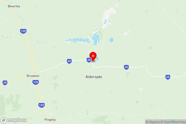
Brookton Suburbs & Region, Brookton Map & Postcodes
Brookton Suburbs & Region, Brookton Map & Postcodes in Brookton, Wheat Belt South, Western Australia Wheat Belt, WA, AU
Brookton Region
Region Name
Brookton (WA, AU)Brookton Area
7481 square kilometers (7,481 ㎢)Postal Codes
6306, 6308, 6373, 6375, and 6390 (In total, there are 5 postcodes in Brookton.)Brookton Introduction
Brookton is a town in the Wheatbelt region of Western Australia, 135 kilometers (84 miles) east of Perth, the state capital. It is a major grain-shipping hub on the Indian Ocean coast and is part of the Shire of Brookton. The town was founded in 1892 and named after the Brookton River, which flows through it. Brookton has a population of around 2,000 people and is known for its historic grain elevators and silos. The town also has a golf course, a swimming pool, and a variety of shops and cafes. The nearby Brookton Nature Reserve is a popular spot for birdwatching and hiking.Australia State
City or Big Region
Greater Capital City
Rest of WA (5RWAU)District or Regional Area
Suburb Name
Brookton Region Map

Brookton Postcodes / Zip Codes
Brookton Suburbs
Brookton full address
Brookton, Wheat Belt South, Western Australia Wheat Belt, Western Australia, WA, Australia, SaCode: 509031246Country
Brookton, Wheat Belt South, Western Australia Wheat Belt, Western Australia, WA, Australia, SaCode: 509031246
Brookton Suburbs & Region, Brookton Map & Postcodes has 0 areas or regions above, and there are 24 Brookton suburbs below. The sa2code for the Brookton region is 509031246. Its latitude and longitude coordinates are -32.317,117.276. Brookton area belongs to Australia's greater capital city Rest of WA.
Brookton Suburbs & Localities
1. Bulyee
2. Kweda
3. Pingelly
4. Dwarda
5. Springs
6. Gorge Rock
7. Kunjin
8. Mount Cooke
9. Wandering
10. Bullaring
11. Corrigin
12. Brookton
13. Hastings
14. Pumphreys Bridge
15. Kurrenkutten
16. Bannister
17. North Bannister
18. Aldersyde
19. Jelcobine
20. Codjatotine
21. East Pingelly
22. West Pingelly
23. Adamsvale
24. Bilbarin
