Kurrenkutten Area, Kurrenkutten Postcode(6375) & Map in Kurrenkutten, Western Australia - Wheat Belt, WA
Kurrenkutten Area, Kurrenkutten Postcode(6375) & Map in Kurrenkutten, Western Australia - Wheat Belt, WA, AU, Postcode: 6375
Kurrenkutten, Brookton, Wheat Belt - South, Western Australia - Wheat Belt, Western Australia, Australia, 6375
Kurrenkutten Postcode
Area Name
KurrenkuttenKurrenkutten Suburb Area Map (Polygon)

Kurrenkutten Introduction
Kurrenkutten is a small town in Western Australia's Wheat Belt region, known for its wheat farming and agricultural industry. It is located 260 kilometers east of Perth and has a population of around 1,000 people. The town is home to a number of historic buildings, including the Kurrenkutten Hotel, which was built in 1879 and is one of the oldest in the region.State Name
City or Big Region
District or Regional Area
Suburb Name
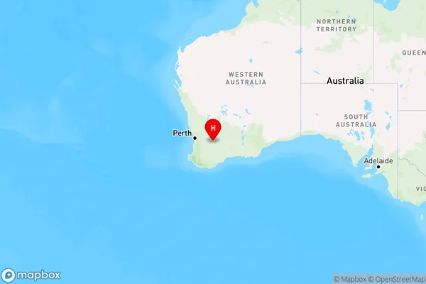
Kurrenkutten Region Map
Country
Main Region in AU
R3Coordinates
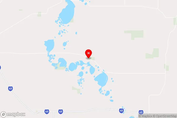
-32.3534136,118.1237956 (latitude/longitude)Kurrenkutten Area Map (Street)
Longitude
117.879836Latitude
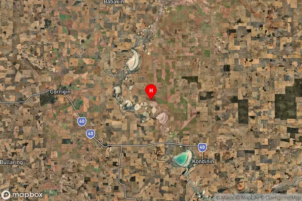
-32.286284Kurrenkutten Suburb Map (Satellite)
Distances
The distance from Kurrenkutten, Western Australia - Wheat Belt, WA to AU Greater Capital CitiesSA1 Code 2011
50903124604SA1 Code 2016
50903124604SA2 Code
509031246SA3 Code
50903SA4 Code
509RA 2011
4RA 2016
4MMM 2015
6MMM 2019
6Charge Zone
W2LGA Region
CorriginLGA Code
52100Electorate
Durack