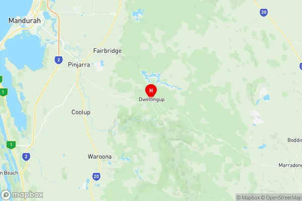
Murray Suburbs & Region, Murray Map & Postcodes
Murray Suburbs & Region, Murray Map & Postcodes in Murray, Wheat Belt South, Western Australia Wheat Belt, WA, AU
Murray Region
Region Name
Murray (WA, AU)Murray Area
2746 square kilometers (2,746 ㎢)Postal Codes
6207, 6213, 6390, and 6391 (In total, there are 4 postcodes in Murray.)Murray Introduction
Murray, Western Australia Wheat Belt, Western Australia, AU, is a town located 1,100 miles southeast of Perth, the state capital of Western Australia. It is situated in the Shire of Buloke and is part of the broader Wheatbelt region. The town is named after Sir George Murray, who was the Governor of Western Australia from 1868 to 1872. The town is a major agricultural center in the region, with a population of around 2,000 people. The primary industry in the area is wheat farming, with the town serving as a hub for the production and distribution of wheat and other grains. The town also has a small retail and service sector, with a supermarket, a post office, a hospital, and a variety of cafes and restaurants. The town is located in the Murray River valley, which is renowned for its fertile soils and abundant water resources. The area is also home to a number of historic sites, including the Murray River Bridge, which was built in 1932 and is one of the largest steel bridges in the world. The town is surrounded by a number of picturesque natural attractions, including the Murray River, the Mount Lofty Ranges, and the Wimmera Plains. The area is popular with tourists and outdoor enthusiasts, with a number of hiking and cycling trails, as well as fishing and water sports opportunities. In conclusion, Murray, Western AustraliaAustralia State
City or Big Region
Greater Capital City
Rest of WA (5RWAU)District or Regional Area
Suburb Name
Murray Region Map

Murray Postcodes / Zip Codes
Murray Suburbs
Murray full address
Murray, Wheat Belt South, Western Australia Wheat Belt, Western Australia, WA, Australia, SaCode: 509031248Country
Murray, Wheat Belt South, Western Australia Wheat Belt, Western Australia, WA, Australia, SaCode: 509031248
Murray Suburbs & Region, Murray Map & Postcodes has 0 areas or regions above, and there are 19 Murray suburbs below. The sa2code for the Murray region is 509031248. Its latitude and longitude coordinates are -32.7143,116.066. Murray area belongs to Australia's greater capital city Rest of WA.
Murray Suburbs & Localities
1. Myara
2. Banksiadale
3. Dwellingup
4. Etmilyn
5. Holyoake
6. Lower Hotham
7. Wuraming
8. Crossman
9. Marradong
10. Ranford
11. Solus
12. Whittaker
13. Inglehope
14. Marrinup
15. Teesdale
16. Mount Wells
17. Upper Murray
18. Quindanning
19. Boddington
